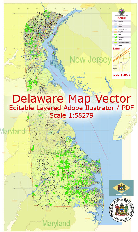
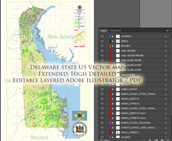
Delaware is a relatively small state in the United States, and it does not have as extensive a network of toll roads as some larger states. However, tolls can change, and new infrastructure projects may have been developed since then.
Vectormap.Net provide you with the most accurate and up-to-date vector maps in Adobe Illustrator, PDF and other formats, designed for editing and printing. Please read the vector map descriptions carefully.
Here is a general overview of the toll and free roads in Delaware as of my last update:
1. Toll Roads:
- Delaware Turnpike (I-95): The most significant toll road in Delaware is the Delaware Turnpike, which is a part of Interstate 95 (I-95). It runs north-south through the state and connects major cities along the East Coast. The toll on I-95 is collected at one main toll plaza in Newark, Delaware. Tolls vary based on the distance traveled.
- Delaware Route 1 (DE-1): Also known as the Korean War Veterans Memorial Highway, DE-1 is a tolled highway that runs north-south along the eastern part of the state, parallel to the coastline. Tolls are collected at various points along DE-1, and rates depend on the distance traveled.
2. Free Roads:
- Other Interstates and State Highways: Apart from the tolled roads mentioned above, Delaware has a network of free roads, including other sections of I-95, I-495, I-295, and various state routes. These roads are funded through state and federal taxes and do not require toll payments.
- Local Roads: Within towns and cities, you’ll find a network of local roads that are generally free to use. These roads are maintained and funded by local municipalities.
It’s important to note that toll rates and road conditions can change over time, so it’s advisable to check with official sources, such as the Delaware Department of Transportation (DelDOT), for the most up-to-date information on tolls and road conditions before planning your travel. Additionally, you may find real-time traffic and toll information through navigation apps or the official DelDOT website.
Delaware is the second smallest state in the United States by land area. The total area of Delaware is approximately 1,949 square miles (5,046 square kilometers).
The main coordinates (latitude and longitude) for the approximate center of Delaware are as follows:
- Latitude: 39.0657° N
- Longitude: 75.5560° W
These coordinates represent a central point within the state, and they can be used as a reference for general location information. Keep in mind that specific locations within Delaware may have different coordinates. If you need precise coordinates for a particular city or point of interest, it’s recommended to use mapping tools or GPS devices for accurate information.


 Author: Kirill Shrayber, Ph.D. FRGS