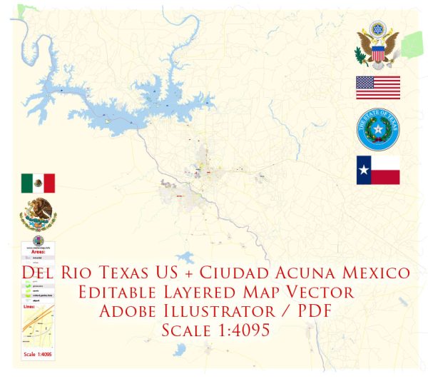
Vector Maps of the Ciudad Acuña : also known simply as Acuña, is a city located in the Mexican state of Coahuila, at 29°19′27″N 100°55′54″W and a mean height above sea level of 271 m.
Elevation: 271 m
Download royalty free, editable vector maps of Ciudad Acuña Mexico in high resolution digital PDF and Adobe Illustrator format.
Del Rio, Texas, and Ciudad Acuña, Mexico, are neighboring cities situated on the United States-Mexico border.
Vectormap.Net provide you with the most accurate and up-to-date vector maps in Adobe Illustrator, PDF and other formats, designed for editing and printing. Please read the vector map descriptions carefully.
Economic Connections:
- Trade and Commerce:
- Del Rio and Ciudad Acuña share a significant economic relationship, largely driven by cross-border trade. The cities have a history of commercial ties with businesses on both sides of the border engaging in import and export activities.
- Maquiladora Industry:
- Ciudad Acuña has been known for its maquiladora industry, which involves the assembly or manufacturing of goods, often with materials imported from the United States. This creates jobs on the Mexican side and fosters economic interdependence.
- Tourism:
- Both cities attract tourists who often cross the border for shopping, dining, and cultural experiences. The proximity allows for a flow of visitors interested in exploring the attractions and activities in the region.
- Cross-Border Investments:
- Economic connections extend beyond trade to include cross-border investments. Companies on one side may have interests, subsidiaries, or partnerships on the other side.
Transport Connections:
- International Bridge:
- The Del Rio-Ciudad Acuña International Bridge, officially known as the Puente Internacional C.F. Sam Snead, connects the two cities across the Rio Grande. This bridge is a crucial link for both commercial and personal travel.
- Road Transportation:
- The cities are well-connected by road, allowing for the movement of goods and people. Highways and roads facilitate the transportation of products to and from manufacturing facilities, distribution centers, and markets on both sides.
- Air Travel:
- Del Rio International Airport serves as a local airport for Del Rio. While there is no major airport in Ciudad Acuña, residents and businesses often use nearby airports in Mexico for air travel. Air connections can play a role in facilitating business and tourism.
- Rail Connections:
- Railways may also play a role in the economic and transport connections, although the extent of this involvement can vary. Rail transport is crucial for moving goods efficiently between the two cities and beyond.
- Customs and Border Protection:
- Given the international border, both Del Rio and Ciudad Acuña have customs and border protection facilities to regulate the movement of goods and people. This ensures compliance with trade regulations and security measures.
Understanding the economic and transport connections between Del Rio, Texas, and Ciudad Acuña, Mexico, provides insight into the cross-border dynamics that contribute to the prosperity and development of both regions. Keep in mind that local and international policies, as well as economic conditions, can influence these connections over time.


 Author: Kirill Shrayber, Ph.D. FRGS