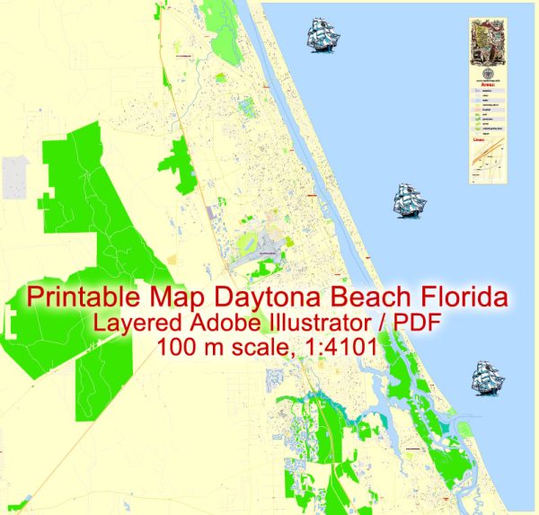
A general overview of the economic and transportation aspects of Daytona Beach, Florida.
Vectormap.Net provide you with the most accurate and up-to-date vector maps in Adobe Illustrator, PDF and other formats, designed for editing and printing. Please read the vector map descriptions carefully.
Economic Overview:
1. Tourism:
- Significant Tourism Industry: Daytona Beach is renowned for its long, sandy beaches and is a popular tourist destination, especially during events like the Daytona 500 (NASCAR race) and Bike Week.
- Impact on Local Economy: Tourism plays a crucial role in the local economy, contributing to businesses such as hotels, restaurants, entertainment venues, and retail.
2. Education and Healthcare:
- Higher Education Institutions: The city is home to institutions like Daytona State College, contributing to education and serving as an economic driver.
- Healthcare Sector: There are healthcare facilities and hospitals in the area, providing employment and services to residents.
3. Aviation and Aerospace:
- Embry-Riddle Aeronautical University: Located in Daytona Beach, it is a prestigious institution for aviation and aerospace education, contributing to the city’s prominence in this industry.
4. Business and Industry:
- Diverse Economy: Beyond tourism, Daytona Beach has a diverse economic base that includes manufacturing, technology, and small businesses.
- Business Parks: The city has business parks and industrial areas that attract companies in various sectors.
Transportation Overview:
1. Highways:
- Interstate 95 (I-95): A major north-south highway running along the eastern coast, providing connectivity to other cities in Florida and beyond.
- I-4: Connecting Daytona Beach to Orlando and Tampa, facilitating inland travel.
2. Air Transportation:
- Daytona Beach International Airport (DAB): Serving the region with domestic flights, the airport contributes to the city’s accessibility.
3. Public Transportation:
- Votran: The public transportation system serving Volusia County, including Daytona Beach, with bus routes and services.
4. Port Orange Bridge and Halifax River:
- Bridges: The Port Orange Bridge and other river crossings facilitate intra-city transportation.
5. Daytona International Speedway:
- Major Venue: Known for NASCAR events, the Daytona International Speedway also hosts other major events, impacting local transportation and infrastructure.
6. Bikeways and Walkability:
- Efforts for Pedestrians and Bikers: Ongoing initiatives to enhance walkability and provide bikeways for residents and visitors.
Please note that the economic and transportation landscape can evolve, and it’s advisable to check more recent sources for the latest information on Daytona Beach’s economic and transportation status.


 Author: Kirill Shrayber, Ph.D. FRGS