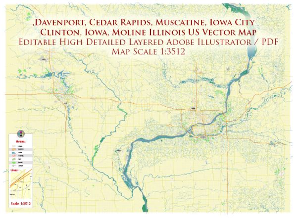
A general overview of what the transportation infrastructure in the Davenport Area, Iowa, might include based on common elements found in many cities in the United States.
Vectormap.Net provide you with the most accurate and up-to-date vector maps in Adobe Illustrator, PDF and other formats, designed for editing and printing. Please read the vector map descriptions carefully.
- Roads and Highways:
- Davenport is likely to have a network of roads and highways connecting it to nearby cities and states.
- Interstate highways, such as I-80 and I-74, may pass through or near the city.
- Local roads and streets are organized in a grid pattern, providing access to different neighborhoods and commercial areas.
- Public Transportation:
- Davenport may have a public transit system, including buses that serve various routes within the city and potentially connect to neighboring communities.
- Bus stops and transit centers are likely distributed strategically to facilitate easy access for residents and visitors.
- Airports:
- The Quad City International Airport (located in Moline, Illinois, but serving the Quad Cities area, including Davenport) is a major regional airport providing domestic flights.
- Rail Transportation:
- Davenport might have rail infrastructure, connecting it to other cities and contributing to the transportation of goods and commodities.
- Bridges:
- The city is situated along the Mississippi River, so there are likely bridges connecting Davenport to neighboring cities in Illinois.
- Cycling and Pedestrian Infrastructure:
- There may be bike lanes and pedestrian-friendly pathways, promoting alternative modes of transportation and enhancing the overall transportation experience.
- Ports and Waterways:
- Due to its location along the Mississippi River, Davenport might have facilities for river transport and cargo shipping.
- Traffic Management:
- Traffic signals, signs, and other traffic management systems are implemented to regulate the flow of vehicles and ensure safety on the roads.
- Transportation Planning and Development:
- Local authorities likely engage in ongoing planning and development initiatives to improve transportation infrastructure, considering factors such as population growth and economic development.
To get the most accurate and up-to-date information on the transportation infrastructure of the Davenport Area, I recommend checking with local government sources, transportation departments, or official city websites.


 Author: Kirill Shrayber, Ph.D. FRGS