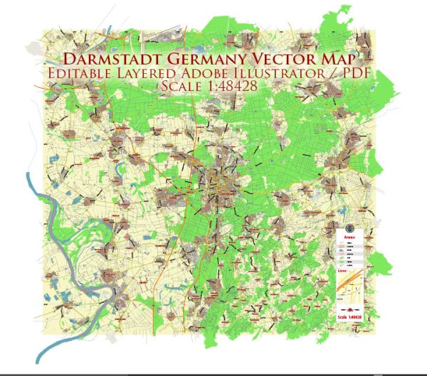
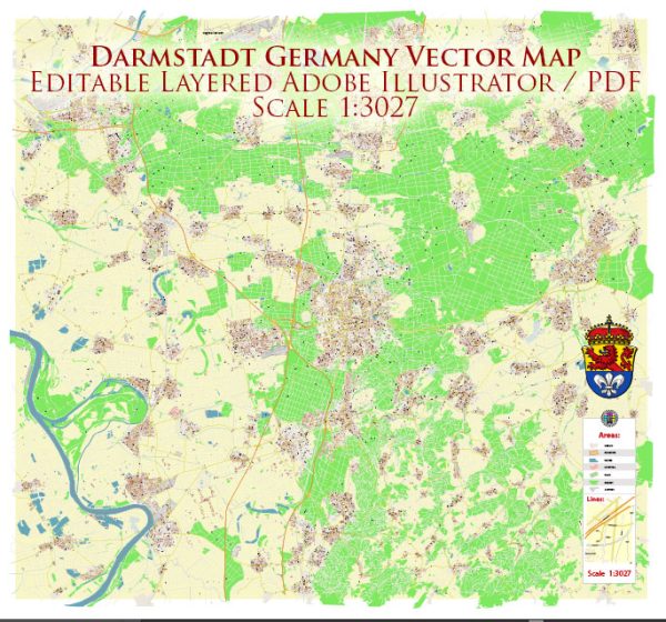
Darmstadt, located in the state of Hesse, Germany, has a rich political and transportation history that spans several centuries.
Vectormap.Net provide you with the most accurate and up-to-date vector maps in Adobe Illustrator, PDF and other formats, designed for editing and printing. Please read the vector map descriptions carefully.
Here is a detailed overview:
Political History:
- Medieval Period: Darmstadt’s history dates back to the medieval period when it was initially a small village. The first documented mention of Darmstadt dates back to 1330 when it was called “Darmundestat.” It was part of the County of Katzenelnbogen.
- Renaissance: In the 16th century, the land around Darmstadt came under the possession of the Landgraviate of Hesse-Darmstadt. The city saw growth and development under the rule of Landgrave Philip the Magnanimous.
- 17th and 18th Centuries: Darmstadt continued to be a significant center under the rule of various Landgraves. The city experienced cultural and architectural development during the Renaissance and Baroque periods. The reign of Landgrave Louis IX (also known as Louis the Pious) in the 18th century saw the establishment of Darmstadt as the capital of the Grand Duchy of Hesse.
- 19th Century: The Grand Duchy of Hesse played a role in the German Confederation. In 1871, following the Franco-Prussian War, the German Empire was established, and Darmstadt became part of the unified German state.
- 20th Century: Darmstadt faced considerable damage during World War II, but the city was rebuilt in the post-war years. It later became part of the state of Hesse when Germany was reorganized after World War II.
- Contemporary Era: Darmstadt continued to evolve as a modern city, known for its scientific and technological contributions. It hosts several research institutions, including the European Space Operations Centre (ESOC) and the GSI Helmholtz Centre for Heavy Ion Research.
Transportation History:
- Early Periods: In its early history, Darmstadt’s transportation relied on traditional modes such as footpaths and horse-drawn carriages. Rivers, like the Rhine and Main, played a role in transporting goods.
- Railways: The advent of the railway in the 19th century transformed transportation in Darmstadt. The Main-Neckar Railway connected the city to the regional and national railway network, fostering economic growth.
- Expansion of Roads: With the rise of automobiles in the 20th century, Darmstadt witnessed the development and expansion of road networks. Improved road infrastructure facilitated easier movement within the city and the surrounding areas.
- Public Transport: Darmstadt has a well-developed public transportation system, including buses and trams, providing convenient and efficient travel within the city and its suburbs.
- Air Transport: The nearest major airport to Darmstadt is Frankfurt Airport, one of the busiest airports in Europe. The airport serves as a crucial hub for international and domestic air travel, providing connectivity to and from Darmstadt.
Darmstadt’s political and transportation history reflects its evolution from a medieval village to a modern city with a focus on technology, research, and connectivity. The city has embraced advancements in transportation while preserving its historical and cultural heritage.


 Author: Kirill Shrayber, Ph.D. FRGS