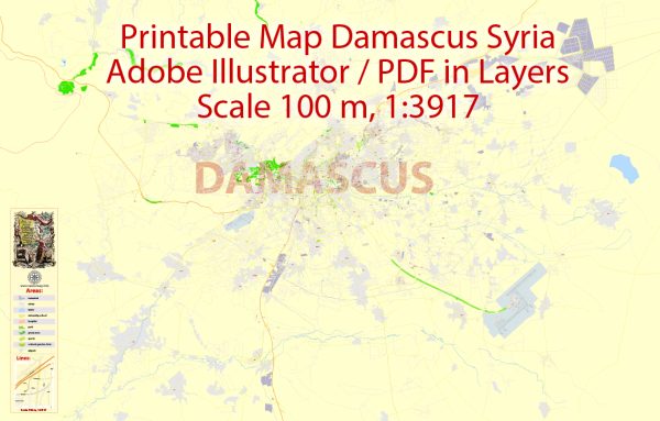
Damascus, the capital and largest city of Syria, has a rich and complex history that spans thousands of years. Its political and transportation history reflects the city’s strategic importance in the region.
Vectormap.Net provide you with the most accurate and up-to-date vector maps in Adobe Illustrator, PDF and other formats, designed for editing and printing. Please read the vector map descriptions carefully.
Political History:
- Ancient Period:
- Damascus is one of the oldest continuously inhabited cities in the world, with evidence of human settlement dating back to at least 11,000 years.
- In ancient times, it was a major center for trade and culture and was ruled by various empires, including the Egyptians, Hittites, and Assyrians.
- Roman and Byzantine Period:
- Damascus became part of the Roman Empire in 64 BCE and later the Byzantine Empire.
- During this period, it thrived as a center of commerce and was known for its impressive architecture, including the Temple of Jupiter.
- Islamic Era:
- In 636 CE, Damascus fell to the Arab Muslim forces during the Islamic conquests.
- The Umayyad Caliphate established its capital in Damascus, and the city became a center of Islamic culture and learning.
- Crusader Period:
- Damascus fell to the Crusaders in 1099 but was recaptured by the Muslim forces led by Saladin in 1174.
- Ottoman Rule:
- Damascus became part of the Ottoman Empire in the 16th century, and it remained under Ottoman rule until the aftermath of World War I.
- French Mandate and Independence:
- After World War I, Syria came under French mandate. Damascus played a significant role in the struggle for independence.
- Syria gained independence in 1946.
- Modern Era:
- Damascus has been the focal point of political events in modern Syria, including the rise of the Ba’ath Party and the rule of the Assad family.
Transportation History:
- Ancient Trade Routes:
- Damascus was a crucial hub on ancient trade routes, including the Silk Road, connecting the East and West.
- Roman Roads:
- The Romans developed an extensive road network, including the Via Recta, which connected Damascus to other parts of the Roman Empire.
- Caravanserais:
- The city had numerous caravanserais to accommodate traders and travelers, showcasing its importance as a trade center.
- Ottoman Period:
- The Ottoman Empire improved transportation within the region, including roads and bridges.
- 20th Century:
- In the 20th century, transportation infrastructure, including roads and railways, was modernized during French rule and continued to develop after independence.
- Civil War Impact:
- The ongoing civil war in Syria has had a significant impact on transportation infrastructure, with damage to roads, bridges, and other facilities.
Despite the challenges faced over the centuries, Damascus remains a city with a rich cultural heritage and historical significance, and its political and transportation history reflects the ebb and flow of power in the region.


 Author: Kirill Shrayber, Ph.D. FRGS