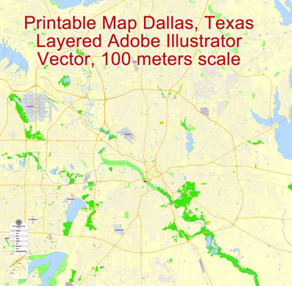
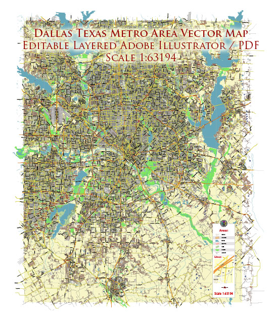
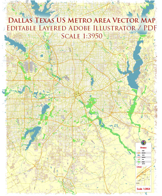
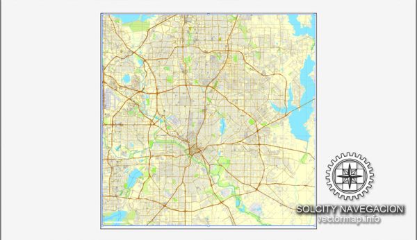
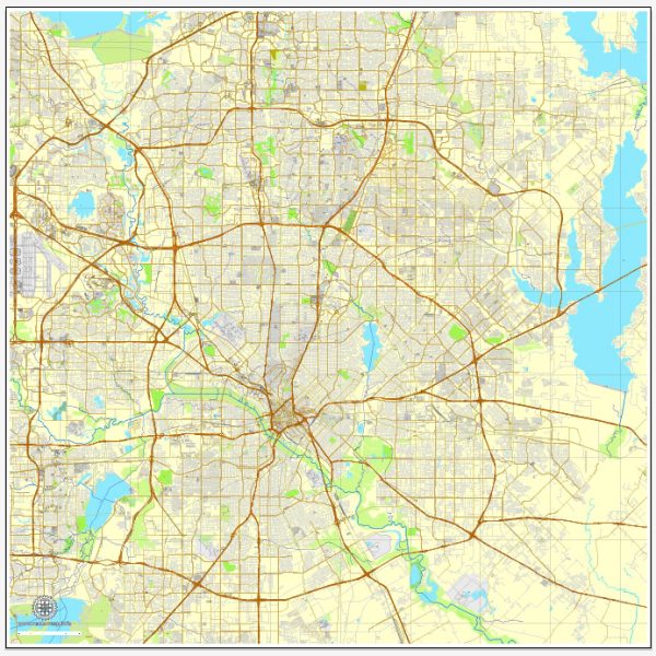
The transportation infrastructure of Dallas, Texas, includes a comprehensive network of roads, public transit systems, airports, and other modes of transportation.
Vectormap.Net provide you with the most accurate and up-to-date vector maps in Adobe Illustrator, PDF and other formats, designed for editing and printing. Please read the vector map descriptions carefully.
- Roads and Highways: Dallas has an extensive road network, with several major highways and interstates facilitating transportation within the city and connecting it to other parts of Texas and neighboring states. Some of the significant highways include:
- Interstate 35E (I-35E)
- Interstate 30 (I-30)
- Interstate 635 (I-635)
- US Route 75 (US 75)
- Public Transit:
- Dallas Area Rapid Transit (DART): DART is the primary public transit agency serving Dallas and nearby suburbs. It operates buses, light rail, commuter rail, and paratransit services. The DART light rail system connects various parts of the city, including Downtown Dallas, North Dallas, and South Dallas.
- Airports:
- Dallas/Fort Worth International Airport (DFW): Located between Dallas and Fort Worth, DFW is one of the busiest airports in the world and a major hub for domestic and international flights.
- Dallas Love Field (DAL): Situated closer to downtown Dallas, Love Field primarily serves domestic flights and is a focus city for certain airlines.
- Rail Transportation:
- Amtrak: The Union Station in Dallas serves as a stop for Amtrak’s Texas Eagle route, providing rail service to destinations such as Chicago and San Antonio.
- Biking and Pedestrian Infrastructure:
- Dallas has been working on improving its biking and pedestrian infrastructure, with the development of trails, bike lanes, and pedestrian-friendly areas. The Katy Trail is a popular urban trail for walking, running, and biking.
- Ports:
- While Dallas is not directly on the coast, it is connected to international trade through inland ports. The city is served by the Dallas Logistics Hub, an inland port with rail and highway connections.
- Transportation Planning:
- The North Central Texas Council of Governments (NCTCOG) plays a crucial role in transportation planning for the Dallas-Fort Worth region. It coordinates with local governments and transportation agencies to address regional transportation needs.
- Future Developments:
- Dallas continues to invest in transportation infrastructure, with plans for new highways, transit expansions, and improvements to enhance overall mobility in the region.

 Author: Kirill Shrayber, Ph.D.