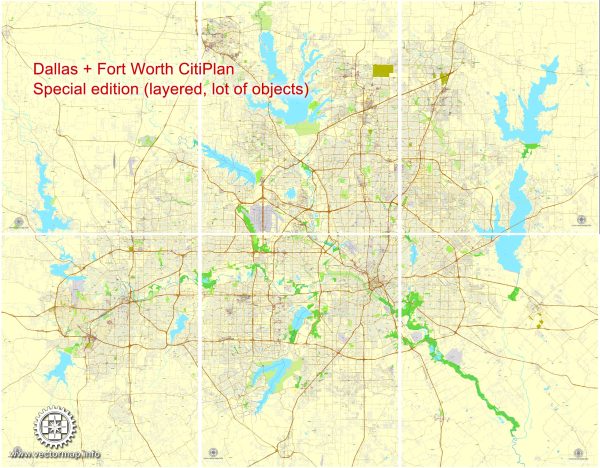
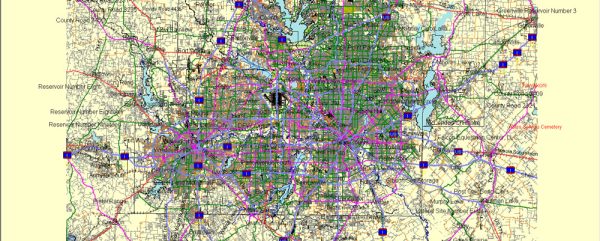
Dallas-Fort Worth (DFW) is a major metropolitan area in the state of Texas, USA. It is the fourth most populous metropolitan area in the United States and is known for its robust economy, diverse industries, and extensive transportation infrastructure.
Vectormap.Net provide you with the most accurate and up-to-date vector maps in Adobe Illustrator, PDF and other formats, designed for editing and printing. Please read the vector map descriptions carefully.
Economic Overview: The DFW economy is diverse, with strong sectors in finance, technology, healthcare, manufacturing, and transportation. The region is home to numerous Fortune 500 companies and has a reputation for being business-friendly. The cities of Dallas and Fort Worth both contribute significantly to the economic vitality of the area.
- Finance and Business Services: Dallas is a major financial hub, hosting the headquarters of several major banks, financial institutions, and corporate offices. The city’s central business district is a key area for financial services.
- Technology: The technology sector in the DFW area has been growing, with companies involved in telecommunications, software development, and information technology.
- Healthcare: Dallas-Fort Worth has a thriving healthcare industry, with numerous hospitals, medical research facilities, and healthcare service providers.
- Manufacturing: The region has a strong manufacturing base, including aerospace, defense, and electronics manufacturing.
- Transportation and Logistics: The strategic location of DFW has made it a central hub for transportation and logistics. The Dallas-Fort Worth International Airport (DFW Airport) is one of the busiest airports globally and a major hub for both domestic and international flights.
Transportation Infrastructure: DFW’s transportation network is extensive and well-developed, encompassing highways, public transit, and airports.
- Airports: The Dallas-Fort Worth International Airport (DFW) is one of the largest and busiest airports in the world. It serves as a major hub for both domestic and international flights, connecting the region to various destinations globally.
- Highways: The area is crisscrossed by a network of highways and expressways, including major interstates such as I-35, I-45, and I-20. These highways facilitate the movement of goods and people within the metroplex and beyond.
- Public Transit: Dallas Area Rapid Transit (DART) provides public transportation services in the Dallas metropolitan area, including light rail, commuter rail, and bus services. Fort Worth also has its public transportation system, Trinity Metro.
- Rail: Rail transportation is crucial for freight movement, and there are significant rail yards and intermodal facilities in the DFW area.
- Ports: While Dallas-Fort Worth is not directly located on the coast, it is connected to the Gulf of Mexico by inland ports, facilitating the movement of goods through waterways.
Overall, the economic and transportation connections in Dallas-Fort Worth contribute to its status as a major economic powerhouse in the United States.


 Author: Kirill Shrayber, Ph.D. FRGS