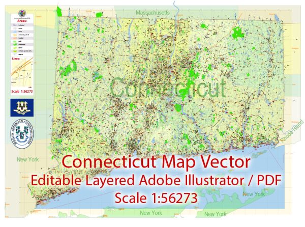
The history of railroads and road systems in Connecticut reflects the broader development of transportation infrastructure in the United States.
Vectormap.Net provide you with the most accurate and up-to-date vector maps in Adobe Illustrator, PDF and other formats, designed for editing and printing. Please read the vector map descriptions carefully.
Here is a detailed overview of the history of railroads and roads in Connecticut:
Railroads:
- Early Railroad Development (1830s-1850s):
- The first railroad in Connecticut, the Hartford and New Haven Railroad, opened in 1839, connecting the state’s capital with its largest city.
- The 1840s witnessed a rapid expansion of railroads, linking Connecticut with neighboring states and facilitating the transportation of goods and passengers.
- Railroad Consolidation (Late 19th Century):
- In the late 19th century, there was a trend of consolidation as smaller railroads merged to form larger systems. The New York, New Haven and Hartford Railroad (NYNH&H) emerged as a dominant player, connecting major cities in the region.
- Expansion and Modernization (Late 19th Century-early 20th Century):
- Railroads played a crucial role in the industrialization of Connecticut during this period, facilitating the movement of raw materials and finished products.
- The electrification of rail lines in the early 20th century improved efficiency and allowed for faster and more reliable transportation.
- Decline and Restructuring (Mid-20th Century):
- Like many other regions, Connecticut’s railroads faced challenges from the rise of automobiles and the decline of passenger rail travel. The NYNH&H struggled financially and eventually went bankrupt in 1961.
- The state government stepped in to create the Connecticut Department of Transportation (ConnDOT) to manage and modernize the rail system.
- Revitalization (Late 20th Century-present):
- Amtrak, the national passenger rail service, continues to serve Connecticut with routes like the Northeast Corridor.
- The Metro-North Railroad, a subsidiary of the Metropolitan Transportation Authority (MTA), provides commuter rail service, connecting Connecticut with New York City.
Road Systems:
- Colonial Roads (17th-18th Centuries):
- Connecticut’s early road network was primarily based on colonial roads connecting settlements and facilitating trade.
- These roads were often unpaved and rudimentary, making travel challenging.
- Turnpikes (Early 19th Century):
- In the early 19th century, turnpikes (toll roads) were constructed to improve transportation. The Hartford and New Haven Turnpike, for example, connected the two major cities.
- Development of State Roads (Late 19th Century):
- As the automobile gained popularity, the state began to invest in road infrastructure. The Good Roads Movement advocated for better-quality roads, leading to the establishment of state roads.
- Federal Aid and Highway System (20th Century):
- The Federal Aid Road Act of 1916 provided federal funding for road construction, leading to the creation of a more extensive highway system.
- The construction of Interstate 95, which traverses Connecticut, began in the 1950s and was completed in subsequent decades, facilitating interstate travel.
- Modern Transportation Challenges and Innovations:
- Connecticut faces challenges related to traffic congestion and the maintenance of aging infrastructure.
- Ongoing efforts focus on modernizing roads, improving public transportation, and exploring innovative solutions to address contemporary transportation needs.
In summary, Connecticut’s history of railroads and roads reflects the broader evolution of transportation in the United States, from the early development of railroads and colonial roads to the modernization and challenges faced in the 21st century.


 Author: Kirill Shrayber, Ph.D.