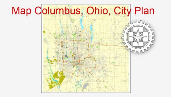
A general overview of the economic and transportation aspects of Columbus, Ohio.
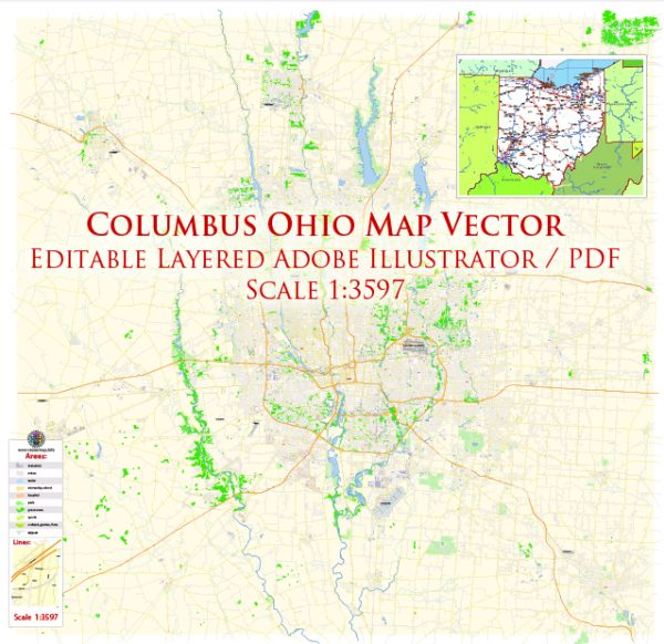
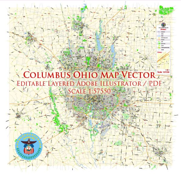
Vectormap.Net provide you with the most accurate and up-to-date vector maps in Adobe Illustrator, PDF and other formats, designed for editing and printing. Please read the vector map descriptions carefully.
Economic Overview:
- Diverse Economy: Columbus has a diverse and robust economy. It is the capital and largest city of Ohio, contributing significantly to the state’s economic growth. The city’s economy is not heavily dependent on a single industry, which makes it more resilient.
- Finance and Insurance: The city hosts several major financial institutions and insurance companies. It is a significant center for banking and finance, with various companies having headquarters or regional offices in the city.
- Technology and Research: Columbus has been making strides in becoming a hub for technology and research. The city is home to Ohio State University, a major research institution, and various tech companies. The presence of research institutions and a skilled workforce contributes to innovation and technological advancements.
- Healthcare: The healthcare sector is another important contributor to the local economy. Columbus is home to several hospitals, medical centers, and research facilities.
- Retail and Logistics: The city has a strong retail sector, with a mix of national and local businesses. Additionally, its strategic location makes it a key player in logistics and distribution.
- Manufacturing: While not as dominant as it once was, manufacturing still plays a role in Columbus’ economy. The city has diverse manufacturing activities, including automotive, machinery, and food processing.
Transportation Overview:
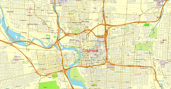
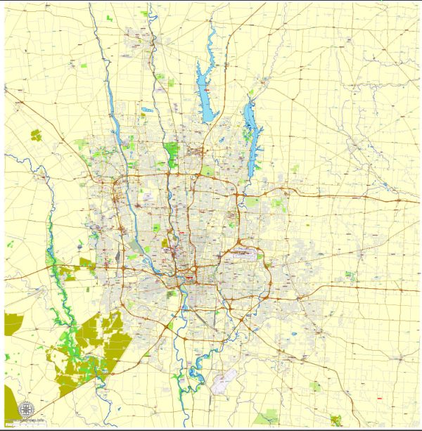
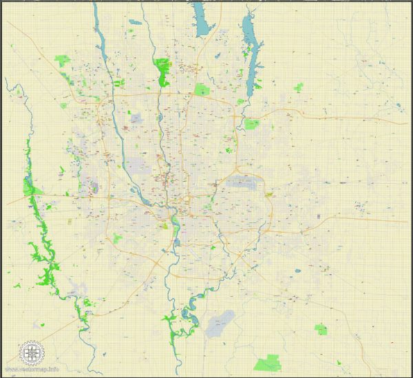
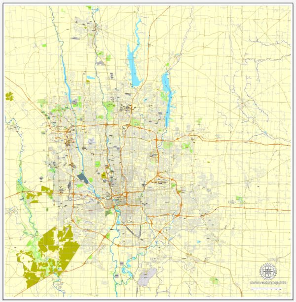
- Roads and Highways: Columbus is well-connected by a network of roads and highways. The city is intersected by major interstate highways, including I-70 and I-71, making it a crucial transportation hub in the region.
- Public Transit: The Central Ohio Transit Authority (COTA) operates the public transit system in Columbus. It includes bus services that cover various parts of the city and surrounding areas. Efforts have been made to improve public transit options to address the city’s growing population.
- Air Transportation: Port Columbus International Airport (John Glenn Columbus International Airport) serves as the primary airport for the region. It provides domestic and limited international flights, contributing to the city’s connectivity.
- Rail Transportation: While not as extensive as some other cities, Columbus has rail connections for freight transportation. Efforts have been made to explore the expansion of passenger rail services, but as of my last update, these plans were in the early stages.
- Biking and Pedestrian Infrastructure: Columbus has been working on enhancing its biking and pedestrian infrastructure. Various initiatives aim to make the city more walkable and bike-friendly, contributing to a more sustainable transportation system.
Please note that developments may have occurred since my last update, and it’s advisable to check more recent sources for the latest information on Columbus’ economic and transportation status.

 Author: Kirill Shrayber, Ph.D.