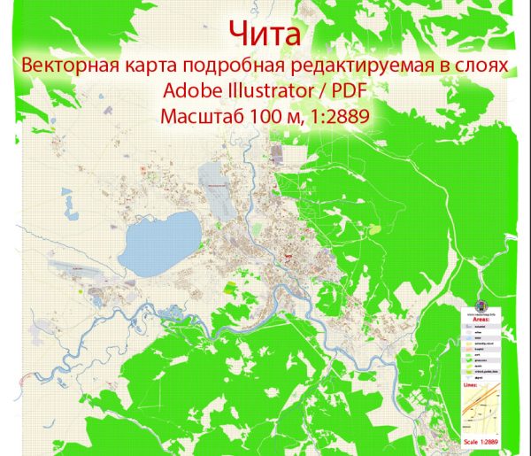
A general overview of the economic and transportation aspects of Chita, Russia.
Vectormap.Net provide you with the most accurate and up-to-date vector maps in Adobe Illustrator, PDF and other formats, designed for editing and printing. Please read the vector map descriptions carefully.
Economic Overview:
1. Industry:
Chita, located in the Zabaykalsky Krai region of Russia, has a diverse economy with a focus on various industries.
2. Natural Resources:
The region is rich in natural resources, including minerals like gold, silver, zinc, and lead, which contribute significantly to the local economy.
3. Agriculture:
Agriculture is another important sector in the Chita region, with the cultivation of crops like wheat, barley, and vegetables.
4. Trade and Commerce:
Chita serves as a trade hub, facilitating economic activities with neighboring regions and countries. Trade may include both domestic and international transactions.
5. Investment Opportunities:
The local government may be actively promoting investment opportunities to boost economic development, possibly focusing on sectors such as mining, agriculture, and manufacturing.
Transportation Overview:
1. Rail Transportation:
Chita is a major railway junction, and its railway station is a significant transportation hub. Rail connections play a crucial role in connecting Chita with other parts of Russia and neighboring countries.
2. Road Infrastructure:
The city has a network of roads and highways, facilitating the movement of goods and people within the region. The road infrastructure is essential for transportation both within the city and to other areas.
3. Air Transportation:
Chita has an airport, Kadala Airport (Chita Airport), connecting the city with domestic destinations. It may also have some international flights, contributing to regional and global connectivity.
4. Public Transportation:
Chita likely has a local public transportation system, including buses and possibly trams, to serve the commuting needs of its residents.
5. Waterways:
While Chita is not a coastal city, it might have connections to waterways, such as rivers, for transportation and trade purposes.
Recent Developments:
There might have been developments in Chita’s economy and transportation infrastructure. It’s advisable to check recent local sources, government publications, or news articles for the latest information and updates.
Please note that specific details may have changed, and I recommend verifying the information with up-to-date sources for the most accurate and current insights into Chita’s economic and transportation landscape.


 Author: Kirill Shrayber, Ph.D. FRGS