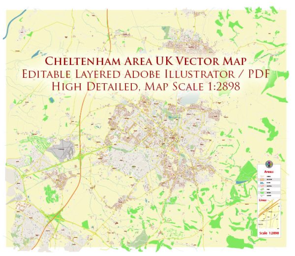
Cheltenham is a historic spa town located in Gloucestershire, England. Its history can be traced back to the Anglo-Saxon period, and it became more prominent in the 18th century when mineral springs were discovered, leading to the development of Cheltenham as a popular spa destination.
Vectormap.Net provide you with the most accurate and up-to-date vector maps in Adobe Illustrator, PDF and other formats, designed for editing and printing. Please read the vector map descriptions carefully.
Historical Overview:
- Anglo-Saxon Period: Cheltenham’s history dates back to the Anglo-Saxon era when it was a small market town. The town’s name is believed to be derived from the Old English words “cealc” (chalk) and “tun” (farm or settlement).
- Medieval and Tudor Periods: Cheltenham continued to grow during the medieval period. The town’s market charter was granted in 1226, contributing to its economic development. However, it remained relatively modest in size. During the Tudor era, Cheltenham gained some significance as a market town and became known for its agricultural and wool trade.
- Georgian Era: The town’s transformation began in the 18th century when a spring with supposed healing properties was discovered. This led to the establishment of Cheltenham as a spa town, attracting visitors seeking the health benefits of the mineral springs. The town’s popularity soared during the Regency era, and elegant Georgian architecture characterizes many of its buildings.
- Victorian Era: The Victorian era further solidified Cheltenham’s status as a fashionable spa destination. The town expanded, and various architectural styles emerged, including Victorian and Edwardian influences. The railway arrived in the mid-19th century, facilitating easier access for visitors.
Road System:
Cheltenham’s road system has evolved over the years to accommodate the town’s growth and changing transportation needs.
- Key Roads:
- High Street: The main street in the town center, lined with shops, restaurants, and historic buildings.
- Promenade: A grand street developed during the Regency era, known for its impressive architecture.
- A40: A major road connecting Cheltenham to other towns and cities, including Oxford and London.
- Transportation Infrastructure:
- Railways: The arrival of the railway in the 19th century played a crucial role in Cheltenham’s development. The Cheltenham Spa railway station is a central hub connecting the town to other major cities.
- Bus Services: Cheltenham has a comprehensive bus network providing public transportation within the town and connecting it to nearby areas.
- Road Network: The road network includes both historical streets and modern thoroughfares, adapting to the increased traffic and changing urban landscape.
- Modern Developments:
- As with many historic towns, Cheltenham has seen modern developments to accommodate contemporary transportation needs. This includes traffic management systems, parking facilities, and updates to road infrastructure.
In summary, Cheltenham’s history is intertwined with its transformation into a prominent spa town during the Georgian and Victorian eras. The road system has evolved to meet the demands of a growing population and changing transportation needs, combining historical charm with modern functionality.


 Author: Kirill Shrayber, Ph.D. FRGS