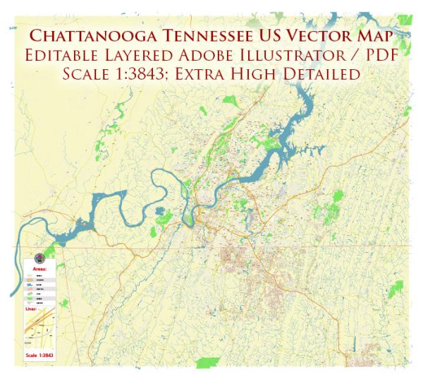
Chattanooga, Tennessee, has a rich history when it comes to railroads and road systems, playing a significant role in the region’s transportation and economic development.
Vectormap.Net provide you with the most accurate and up-to-date vector maps in Adobe Illustrator, PDF and other formats, designed for editing and printing. Please read the vector map descriptions carefully.
Here’s a detailed overview:
Railroads:
- Early Railroad Development (1850s-1860s):
- The first railroad in Chattanooga, the Western and Atlantic Railroad, was completed in 1850. This railroad connected Chattanooga to Atlanta, Georgia, and played a crucial role during the Civil War as a strategic transportation route.
- Chattanooga’s strategic location at the crossroads of several major rail lines made it a vital transportation hub.
- Civil War and Chattanooga’s Importance:
- During the Civil War, Chattanooga became a key military target due to its railroad connections. The famous “Battle Above the Clouds” in 1863 saw the Union forces securing control of the city, marking a turning point in the war.
- The railroads in Chattanooga played a crucial role in supplying troops and materials for both Union and Confederate forces.
- Post-Civil War Reconstruction (Late 19th Century):
- After the Civil War, Chattanooga’s railroads were reconstructed and expanded, contributing to the city’s economic recovery.
- The city became a hub for various railroads, including the Cincinnati Southern Railway and the Alabama Great Southern Railroad.
- Industrial Expansion and Economic Growth (Late 19th to Early 20th Century):
- Chattanooga’s railroads facilitated the transportation of coal, iron, and other raw materials, contributing to the growth of the city’s industrial sector.
- By the early 20th century, Chattanooga had developed into a major industrial and transportation center, earning it the nickname “Dynamo of Dixie.”
- Decline of Railroads (Mid-20th Century):
- With the rise of automobiles and the interstate highway system, railroads faced a decline in the mid-20th century. This decline also impacted Chattanooga’s rail industry.
- Revitalization and Preservation (Late 20th Century – Present):
- In the late 20th century, efforts were made to preserve Chattanooga’s historic railroad infrastructure. The Tennessee Valley Railroad Museum was established to showcase the city’s rail history, and the historic Terminal Station was converted into a hotel.
Road Systems:
- Early Roads and Trails:
- Before the advent of railroads, Chattanooga was connected to other settlements and cities by a network of roads and trails.
- Post-Civil War Road Development:
- After the Civil War, there was an increased focus on improving and expanding road networks to accommodate the growing population and facilitate trade.
- Automobile Era (Early 20th Century):
- The introduction and widespread adoption of automobiles led to the need for better road infrastructure. The Dixie Highway, a network of roads connecting the Midwest to the South, passed through Chattanooga in the early 20th century.
- Interstate Highway System (1950s-1960s):
- The construction of the interstate highway system, particularly Interstate 24 and Interstate 75, had a significant impact on Chattanooga’s road system. These highways facilitated faster and more efficient transportation of goods and people.
- Chattanooga as a Transportation Hub (Late 20th Century – Present):
- Chattanooga’s strategic location at the crossroads of major interstate highways has continued to make it a key transportation hub in the southeastern United States.
In summary, Chattanooga’s history with railroads and road systems reflects the broader trends in transportation development, from the importance of railroads in the 19th century to the dominance of highways in the automobile era. The city’s strategic location and transportation infrastructure have played crucial roles in its economic development over the years.


 Author: Kirill Shrayber, Ph.D.