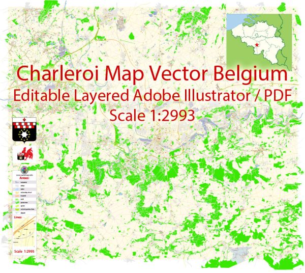
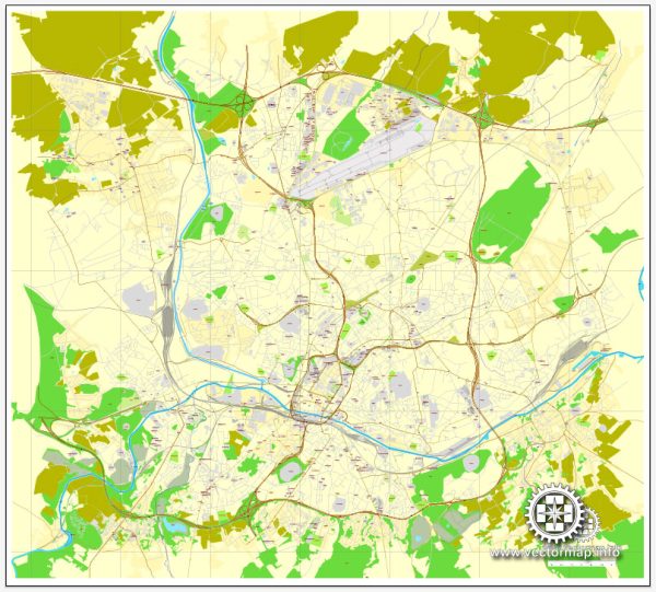
Charleroi is a city located in the Wallonia region of Belgium, and it plays a significant role in the economic and transport networks of the country.
Vectormap.Net provide you with the most accurate and up-to-date vector maps in Adobe Illustrator, PDF and other formats, designed for editing and printing. Please read the vector map descriptions carefully.
Economic Overview:
- Industrial Hub: Historically, Charleroi has been an industrial hub with a focus on coal mining and steel production. However, the city has undergone economic restructuring in recent decades, shifting towards a more diversified economy.
- Diversification of Industries: The city’s economy now includes various sectors such as manufacturing, services, and technology. Charleroi has attracted investments in sectors like aerospace, logistics, and renewable energy.
- Business and Innovation Parks: The development of business and innovation parks in and around Charleroi has further contributed to its economic growth. These areas often host research and development facilities, as well as technology-driven businesses.
- Employment Opportunities: Charleroi provides employment opportunities not only for its residents but also for people in the surrounding areas. The city’s economic activities contribute to the overall economic development of the Wallonia region.
Transport Connections:
- Charleroi Brussels South Airport: Brussels South Charleroi Airport (CRL) is an important international airport serving the region. It is located in Gosselies, a suburb of Charleroi, and serves as a major hub for low-cost carriers, offering flights to various European destinations.
- Rail Network: Charleroi is well-connected by rail, with train services connecting the city to other major Belgian cities and neighboring countries. The Charleroi-South railway station is a key transport hub in the city.
- Road Network: The city is accessible by a well-developed road network. The E42 motorway connects Charleroi to other Belgian cities and the broader European motorway network.
- Public Transportation: Charleroi has an extensive public transportation system, including buses and trams, which facilitates commuting within the city and its suburbs. The city’s public transportation network is an integral part of the broader regional transport system.
- River Transport: While not as significant as other modes of transport, the river Sambre passes through Charleroi, providing some potential for river transport, though its impact on the city’s connectivity is limited compared to road, rail, and air transport.
Please note that developments in economic and transport infrastructure may have occurred since my last update, and it’s advisable to check more recent sources for the latest information.


 Author: Kirill Shrayber, Ph.D.