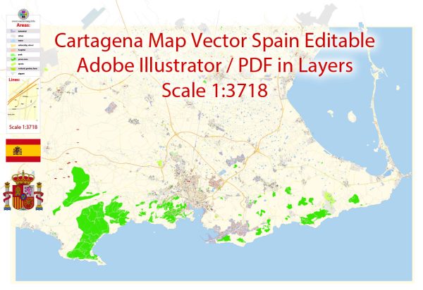
Cartagena, located in the southeastern part of Spain, is a historic city with a rich history dating back to ancient times. The city has been a significant naval and military center, and its road system has evolved over the centuries to accommodate its changing needs.
Vectormap.Net provide you with the most accurate and up-to-date vector maps in Adobe Illustrator, PDF and other formats, designed for editing and printing. Please read the vector map descriptions carefully.
Ancient History:
- Carthaginian Period (3rd century BC): The city was founded by the Carthaginians in the 3rd century BC, hence its name. It served as a strategic naval base during the Punic Wars.
- Roman Period (3rd century BC – 5th century AD): Cartagena became an important Roman colony known as Carthago Nova. During this period, the Romans developed an extensive road network connecting Cartagena to other parts of the Iberian Peninsula.
Medieval and Moorish Period (5th – 13th centuries):
- After the fall of the Roman Empire, Cartagena went through periods of Visigothic and Byzantine rule. In the 8th century, the Moors conquered the region and left their mark on the city’s architecture.
- During the Reconquista, Christians gradually regained control of the Iberian Peninsula. In 1243, Cartagena was reconquered by King Ferdinand III of Castile.
Modern Period (15th – 20th centuries):
- In the 16th century, Cartagena became a major maritime and military hub of the Spanish Empire. The city was fortified, and its road system continued to develop to support trade and military movements.
- The 19th century brought significant changes, including the construction of modern infrastructure such as railways and improved roads.
- In the 20th century, Cartagena played a crucial role during the Spanish Civil War (1936–1939) and World War II. The city suffered considerable damage during the conflicts.
Contemporary Period (21st century):
- In recent decades, Cartagena has undergone urban development and modernization. The road system has been expanded and upgraded to meet the needs of a growing population and increased tourism.
- The city is now well-connected to the rest of Spain through a network of highways and roads. The road system facilitates transportation within Cartagena and to nearby cities, contributing to the region’s economic development.
Today, Cartagena is a blend of ancient history and modern infrastructure. Its road system reflects the city’s evolution from a strategic Roman colony to a bustling contemporary center with a focus on maritime activities, tourism, and trade.


 Author: Kirill Shrayber, Ph.D. FRGS