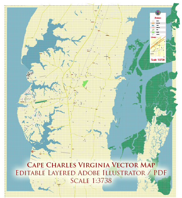
A general overview of the economic and transportation aspects of Cape Charles, Virginia.
Vectormap.Net provide you with the most accurate and up-to-date vector maps in Adobe Illustrator, PDF and other formats, designed for editing and printing. Please read the vector map descriptions carefully.
Economic Overview: Cape Charles is a town located on the eastern shore of Virginia, USA. Historically, the area has been significant for its role in trade and transportation, particularly due to its proximity to the Chesapeake Bay. The town has a rich history, and its economy has evolved over the years.
The local economy of Cape Charles is diverse, with a mix of industries contributing to its vitality. Some key aspects of the economic landscape include:
- Tourism: Cape Charles attracts visitors due to its scenic beauty, historic charm, and recreational opportunities. The town has worked to promote tourism, with its historic architecture, a scenic harbor, and access to nearby beaches being major draws.
- Fishing and Maritime Industries: Given its location on the Chesapeake Bay, fishing has historically been a significant economic activity. The town’s waterfront has played a crucial role in supporting maritime industries.
- Real Estate: The real estate market in Cape Charles has seen some development, with both residents and visitors showing interest in the historic homes and waterfront properties.
- Small Businesses: Like many small towns, Cape Charles has a range of small businesses contributing to the local economy. These can include local shops, restaurants, and services that cater to both residents and tourists.
Transportation: Transportation is crucial for the economic well-being of any town, and Cape Charles is no exception. Here are some key transportation aspects:
- Roads: Cape Charles is accessible by road, primarily via U.S. Route 13, which runs through the eastern shore of Virginia. This provides a connection to other towns and cities in the region.
- Ferries: The town historically had a ferry service connecting it to Norfolk. While the specific details of ferry services can change, it’s worth checking if there are any active ferry routes serving Cape Charles.
- Rail: The Eastern Shore Railroad historically played a role in transporting goods to and from Cape Charles. However, rail services may have changed over time.
- Airports: While Cape Charles itself may not have a major airport, there are regional airports nearby that provide air transportation options.
For the most up-to-date information on Cape Charles’s economy and transportation infrastructure, it is recommended to consult local government sources, chamber of commerce reports, and recent news articles.


 Author: Kirill Shrayber, Ph.D. FRGS