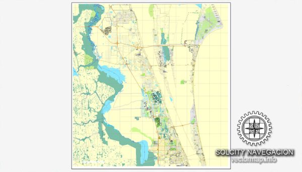
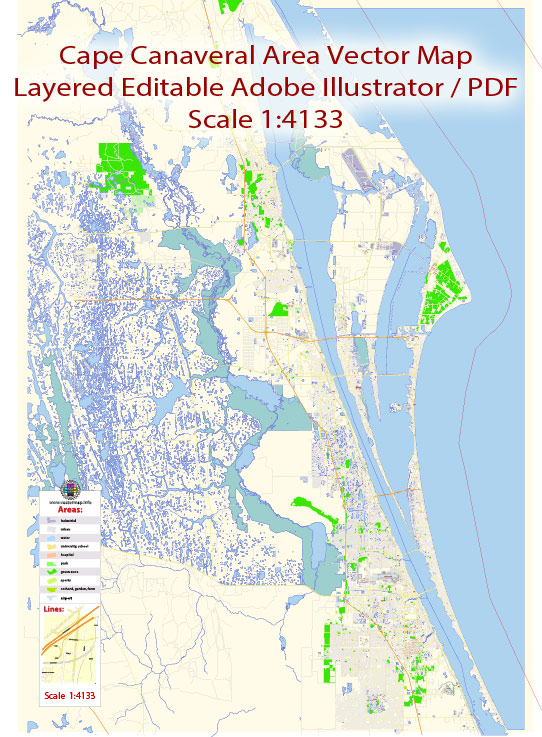
Cape Canaveral, Florida, is a prominent location for space-related activities and has economic and transport connections that support its role as a major space launch site.
Vectormap.Net provide you with the most accurate and up-to-date vector maps in Adobe Illustrator, PDF and other formats, designed for editing and printing. Please read the vector map descriptions carefully.
Economic Overview:
- Space Industry: Cape Canaveral is home to the Kennedy Space Center (KSC), one of NASA’s primary launch facilities. The space industry, with a focus on satellite launches, space exploration, and related activities, plays a crucial role in the local economy. Various private aerospace companies, such as SpaceX and United Launch Alliance (ULA), also operate from Cape Canaveral, contributing to economic growth.
- Tourism: The space-related activities draw significant tourism to the area. The Kennedy Space Center Visitor Complex attracts visitors from around the world who come to learn about space exploration and witness rocket launches. Tourism-related businesses, including hotels, restaurants, and shops, contribute to the local economy.
- Technology and Research: The presence of a space launch site attracts research and development activities. Additionally, Cape Canaveral has connections to nearby research institutions and universities, fostering collaboration and innovation.
- Employment Opportunities: The space industry provides direct employment opportunities, including engineers, scientists, technicians, and support staff. Indirectly, the growth of related industries supports additional jobs in the region.
Transport Connections:
- Air Transportation:
- Orlando International Airport (MCO): Located about 45 miles west of Cape Canaveral, MCO is the primary international airport serving the region. It provides air travel connections for both domestic and international visitors.
- Road Transportation:
- Highways: Cape Canaveral is accessible via major highways, including the Interstate 95 (I-95) and State Road 528 (Beachline Expressway), facilitating ground transportation.
- Port Canaveral:
- Sea Transportation: Port Canaveral, one of the busiest cruise ports in the world, is adjacent to Cape Canaveral. Besides cruise traffic, the port also handles cargo shipments and plays a role in supporting space-related transportation.
- Rail Transportation:
- Rail Access: While there isn’t a direct rail connection to Cape Canaveral for passenger transport, rail infrastructure in the broader region contributes to the transportation network.
- Space Launch Facilities:
- Launch Pads: Cape Canaveral Space Force Station (CCSFS) and Kennedy Space Center (KSC) have multiple launch pads, providing facilities for a variety of space missions.
- SpaceX Operations:
- Landing Zones: SpaceX operates Landing Zone 1 and Landing Zone 2 at Cape Canaveral Space Force Station for landing Falcon 9 rocket boosters, contributing to reusability and cost-effectiveness in space missions.
The economic and transport connections of Cape Canaveral are tightly interwoven with its role in space exploration, tourism, and the broader transportation network in Central Florida. As developments in space technology continue, the region’s economic and transport landscape may evolve further.


 Author: Kirill Shrayber, Ph.D. FRGS