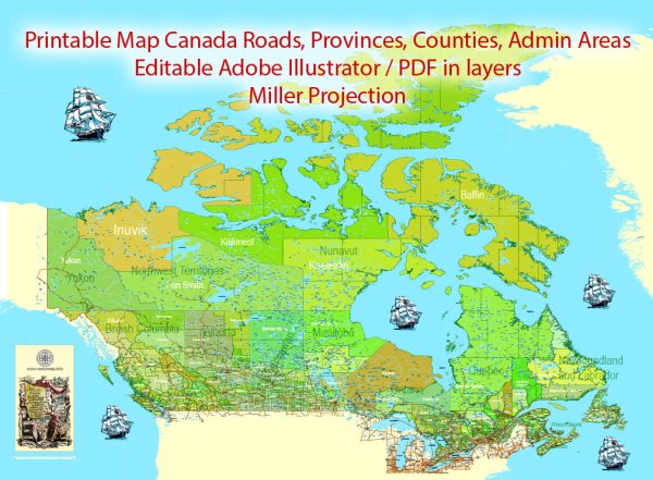
The history of railroads and road systems in Canada is rich and integral to the country’s development and economic growth.
Vectormap.Net provide you with the most accurate and up-to-date vector maps in Adobe Illustrator, PDF and other formats, designed for editing and printing. Please read the vector map descriptions carefully.
Here is a detailed overview of their evolution:
Railroads:
Early Years (19th Century):
- 1836: The first railway in Canada, the Champlain and St. Lawrence Railroad, opened in La Prairie, Quebec, connecting the city to St. John on the Richelieu River.
- 1853: The Grand Trunk Railway (GTR) was established, becoming a major player in the expansion of railroads across the country.
- 1867: The Canadian Pacific Railway (CPR) was chartered, and its construction would later become a significant national project.
Transcontinental Railroad:
- 1885: The Canadian Pacific Railway was completed, linking the east and west coasts and facilitating transportation across the vast country.
- 1886: The Canadian National Railway (CNR) was formed, initially as the Intercolonial Railway, to connect the Maritime provinces to the rest of Canada.
Economic Impact:
- Late 19th to early 20th century: Railways played a crucial role in the economic development of Canada, supporting the transportation of goods, resources, and people.
- Expansion of agriculture: Railways opened up new areas for agriculture, allowing farmers to transport their products to markets more efficiently.
Nationalization and Modernization:
- 1919: The federal government took control of the Canadian Northern Railway and Grand Trunk Pacific Railway, forming the Canadian National Railway (CNR) to improve efficiency and eliminate redundancy.
- 1978: CNR was privatized, becoming one of the most successful railway companies globally.
High-Speed Rail:
- 21st century: Discussions and studies on high-speed rail projects, particularly in the densely populated Quebec City–Windsor Corridor, have emerged to address increasing transportation demands.
Road Systems:
Early Roads:
- 17th and 18th centuries: Indigenous peoples and early settlers created trails and pathways for foot traffic and later for horse-drawn carriages.
- 19th century: The advent of the automobile led to increased demand for improved road infrastructure.
Automobile Era:
- Early 20th century: The introduction of automobiles prompted the construction and improvement of roads across the country.
- Trans-Canada Highway: The idea for a transcontinental highway was proposed in the 1920s, and construction began in the 1950s. The Trans-Canada Highway officially opened in 1962, connecting the Atlantic and Pacific coasts.
Modernization and Expansion:
- Late 20th century to present: Continuous efforts have been made to modernize and expand the road network to accommodate the growing population and increasing traffic.
- Expressways and Highways: Major urban centers have developed extensive expressway systems, enhancing connectivity and facilitating trade.
Sustainable Transportation:
- 21st century: The focus on sustainable transportation has led to initiatives promoting public transit, cycling lanes, and pedestrian-friendly infrastructure in urban areas.
The history of railroads and road systems in Canada reflects the nation’s commitment to connectivity, economic development, and adapting to the changing modes of transportation over the years. Today, these networks continue to play a vital role in shaping the country’s economic landscape.


 Author: Kirill Shrayber, Ph.D.