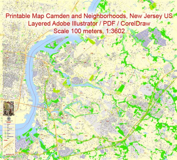
A general overview of the economic and transportation landscape in Camden, New Jersey, USA.
Vectormap.Net provide you with the most accurate and up-to-date vector maps in Adobe Illustrator, PDF and other formats, designed for editing and printing. Please read the vector map descriptions carefully.
Economic Overview:
- Industry Composition:
- Historically, Camden has been an industrial city, with a strong presence in manufacturing and shipbuilding. However, like many industrial cities in the United States, Camden has experienced economic challenges and industrial decline.
- Major Employers:
- Campbell Soup Company, headquartered in Camden, has been a significant employer in the area.
- The healthcare and education sectors, including institutions like Cooper University Hospital and Rutgers University, also play crucial roles in the local economy.
- Economic Revitalization Efforts:
- The city has seen efforts to revitalize its economy, with initiatives aimed at attracting new businesses and investments.
- Waterfront development projects, such as the Camden Waterfront, have been part of these revitalization efforts, contributing to the city’s economic growth.
Transportation Overview:
- Roads and Highways:
- Camden is well-connected to major highways, including I-676, I-76, and routes like US-30. These highways facilitate easy access to Philadelphia, located just across the Delaware River.
- Public Transportation:
- The city is served by the PATCO Speedline, a rapid transit system connecting Camden to Philadelphia. This provides residents with a convenient means of commuting between the two cities.
- NJ Transit also operates bus services in the region, providing additional public transportation options.
- Bridges:
- Several bridges connect Camden to Philadelphia, including the Benjamin Franklin Bridge and the Walt Whitman Bridge. These bridges are crucial for commuting and transporting goods between the two cities.
- Port Facilities:
- Camden has port facilities along the Delaware River, contributing to its historical role in shipping and trade. These facilities are essential for transporting goods and materials.
- Airport Access:
- The Philadelphia International Airport is the nearest major airport, providing air travel options for residents and businesses in Camden.
- Walking and Biking:
- Efforts have been made to improve pedestrian and cycling infrastructure in Camden, promoting alternative and sustainable modes of transportation.
Challenges:
- Economic Disparities:
- Despite revitalization efforts, Camden has faced persistent economic challenges, including high poverty rates and unemployment.
- Crime:
- Crime rates have been a concern in Camden, impacting the overall quality of life and economic development in the city.
- Education:
- Education has been a significant challenge, and efforts to improve educational outcomes are crucial for the long-term economic development of the community.
For the most up-to-date information, it’s recommended to check recent sources or official local government reports on the economic and transportation status of Camden, New Jersey.


 Author: Kirill Shrayber, Ph.D. FRGS