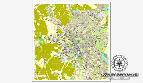
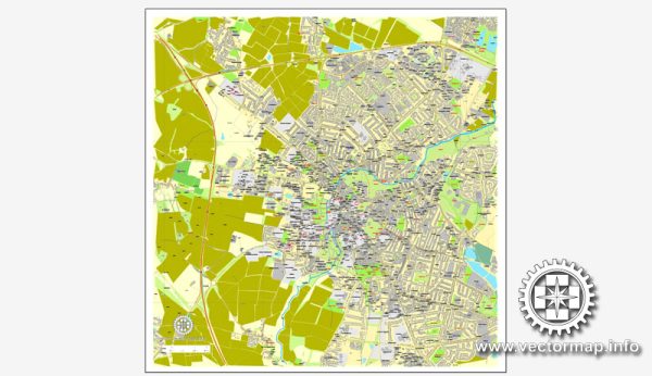
Cambridge, located in the East of England, is a historic city with a rich history dating back to Roman times. The road system in Cambridge has evolved over the centuries, influenced by its academic and cultural significance.
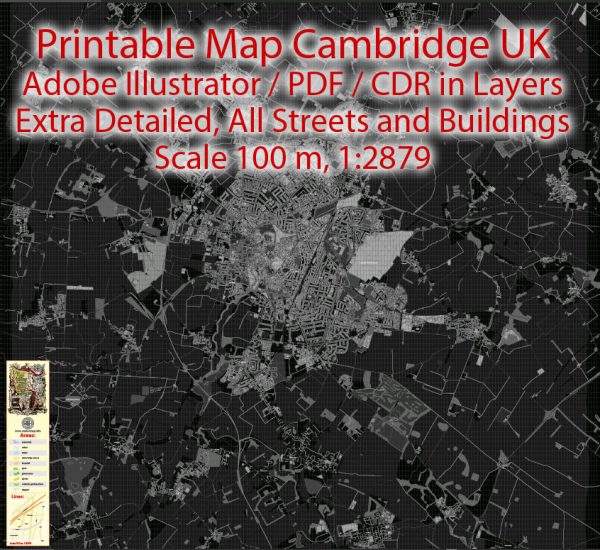
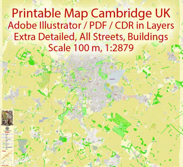
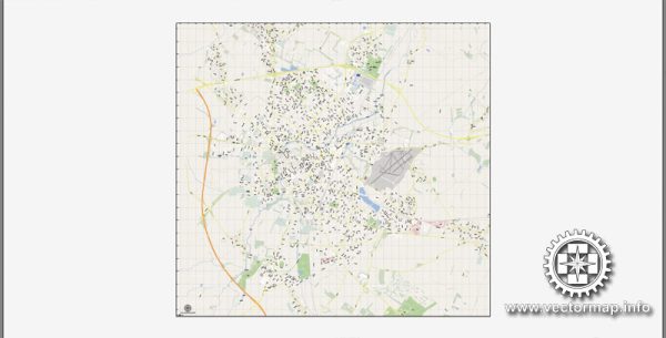
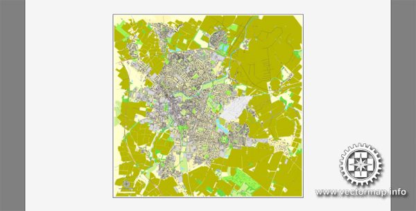
Vectormap.Net provide you with the most accurate and up-to-date vector maps in Adobe Illustrator, PDF and other formats, designed for editing and printing. Please read the vector map descriptions carefully.
Historical Overview:
- Roman Period (1st Century AD): Cambridge has Roman origins, and during this period, the town was known as Duroliponte. The Romans built a bridge over the River Cam, which contributed to the town’s early development.
- Medieval Period (5th-15th Century): The medieval layout of Cambridge began to take shape with the establishment of the University of Cambridge in 1209. The town became a center for learning and attracted scholars from across Europe.
- 16th-17th Centuries: During this time, Cambridge expanded, and its road system became more organized. Streets like King’s Parade and Trumpington Street saw development, and the town’s character started to resemble the Cambridge we know today.
- 18th-19th Centuries: The Enclosure Acts in the 18th and 19th centuries led to the reorganization of land and roads in the surrounding countryside. Cambridge continued to grow, and transportation became more critical with the advent of the Industrial Revolution.
Road System:
- City Center: The heart of Cambridge features a network of narrow, medieval streets with historical architecture, including King’s Parade, Trinity Street, and St. John’s Street. Many of these roads are pedestrian-friendly, and cycling is a popular mode of transportation.
- The Backs: A picturesque area behind several colleges along the River Cam, The Backs is a scenic route with footpaths and cycling paths, offering beautiful views of the college gardens and buildings.
- Ring Road: The A1134, also known as the Cambridge Ring Road, encircles the city center, providing access to various districts and connecting major roads. It helps manage traffic flow around the city.
- Park and Ride: Cambridge has a successful Park and Ride system, encouraging people to park their cars outside the city and use public transportation to reduce congestion in the city center.
- Bicycle-Friendly: Cambridge is renowned for its bicycle-friendly infrastructure. Dedicated cycling lanes and bike parking facilities are prevalent, making cycling a popular and sustainable mode of transportation.
- Expansion and Development: As the city continues to grow, urban planners work to balance the preservation of the historic character with the need for modern infrastructure. New developments often include provisions for sustainable transportation.
Overall, Cambridge’s road system reflects its historical roots, with a mix of medieval streets and modern infrastructure. The city’s commitment to sustainability and efficient transportation aligns with its academic and cultural legacy.

 Author: Kirill Shrayber, Ph.D. FRGS