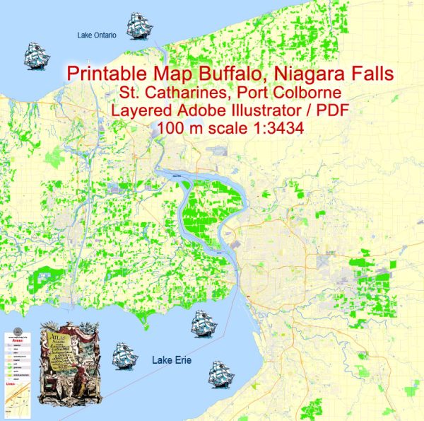
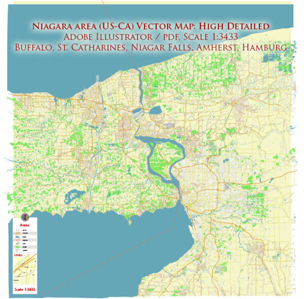
Buffalo and Niagara Falls are two closely connected cities in the state of New York, and they share economic and transport ties due to their proximity.
Vectormap.Net provide you with the most accurate and up-to-date vector maps in Adobe Illustrator, PDF and other formats, designed for editing and printing. Please read the vector map descriptions carefully.
Here’s a detailed description of the economic and transport connections between Buffalo and Niagara Falls:
Economic Connections:
- Tourism:
- Niagara Falls is a major tourist attraction, drawing millions of visitors each year. Buffalo benefits from this tourism, as many tourists choose to explore both cities during their visit.
- Buffalo’s proximity to Niagara Falls allows for the development of complementary tourism services, such as hotels, restaurants, and transportation services.
- Cross-Border Trade:
- The cities are located near the U.S.-Canada border, and their economic ties extend across the Niagara River. Trade and commerce between the U.S. and Canada contribute to the economic vitality of both Buffalo and Niagara Falls.
- Manufacturing and Industry:
- Buffalo has a diverse industrial base, including manufacturing, healthcare, and technology. The economic activity in Buffalo indirectly impacts Niagara Falls by creating job opportunities and fostering a supportive economic environment in the region.
- Education and Research:
- Both Buffalo and Niagara Falls benefit from the educational and research institutions in the region. The State University of New York (SUNY) at Buffalo, for example, is a major academic and research center that contributes to the intellectual capital of the area.
Transport Connections:
- Roadways:
- Interstate 190 connects Buffalo and Niagara Falls, providing a direct and efficient highway connection. This allows for the easy movement of people and goods between the two cities.
- Bridges:
- Several bridges span the Niagara River, connecting Buffalo and Niagara Falls to the Canadian province of Ontario. The Peace Bridge, Rainbow Bridge, and Lewiston-Queenston Bridge are critical international crossings that facilitate trade and tourism.
- Rail Transport:
- Both cities have rail connections that support the transportation of goods and materials. The rail infrastructure aids in the movement of freight and contributes to the overall economic connectivity of the region.
- Air Transport:
- Buffalo Niagara International Airport serves as a major air transportation hub for the region. It provides convenient access to both Buffalo and Niagara Falls, facilitating business travel and tourism.
- Water Transport:
- The Great Lakes and the Saint Lawrence Seaway play a role in connecting Buffalo and Niagara Falls to maritime transportation routes. While Buffalo has a historical connection to the Erie Canal, the Niagara River connects the two cities to the Great Lakes system.
In summary, Buffalo and Niagara Falls share strong economic and transport connections, primarily driven by tourism, cross-border trade, and a well-developed network of roadways, bridges, and other transportation infrastructure. These factors contribute to the economic synergy and overall vitality of the region.


 Author: Kirill Shrayber, Ph.D. FRGS