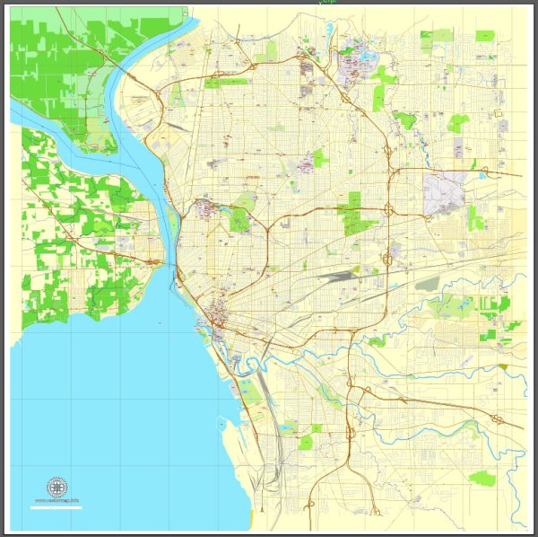
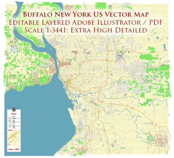
Buffalo, New York, has a rich history and a well-developed road system.
Vectormap.Net provide you with the most accurate and up-to-date vector maps in Adobe Illustrator, PDF and other formats, designed for editing and printing. Please read the vector map descriptions carefully.
Here’s a detailed overview:
History:
- Early Settlement: Buffalo was initially settled by the Native American Iroquois tribes before European settlers arrived in the late 18th century.
- Erie Canal: The construction of the Erie Canal in the early 19th century played a crucial role in Buffalo’s growth. Completed in 1825, the canal connected the Great Lakes with the Atlantic Ocean, turning Buffalo into a vital transportation hub.
- Industrialization: Buffalo thrived as an industrial and transportation center due to its strategic location. The steel industry, grain milling, and manufacturing sectors contributed to its economic prosperity.
- Railroads: The city’s railroads, like the New York Central and the Erie Railroad, further enhanced its connectivity and made it a key transportation hub.
- Pan-American Exposition: Buffalo gained international attention in 1901 when it hosted the Pan-American Exposition, showcasing technological advancements and cultural achievements of the Americas.
- Great Depression and Decline: Like many industrial cities, Buffalo faced economic challenges during the Great Depression, and deindustrialization led to population decline in the mid-20th century.
- Revitalization Efforts: In recent decades, Buffalo has focused on revitalization efforts, with initiatives to restore historic neighborhoods and promote economic development.
Road System:
- Early Roads: Buffalo’s road system initially consisted of rudimentary paths and trails used by Native Americans. As the city developed, roads expanded to accommodate horse-drawn carriages and early automobiles.
- Parkway System: Frederick Law Olmsted, renowned for designing Central Park in New York City, also designed Buffalo’s park and parkway system. Delaware Park, connected by tree-lined parkways, remains a prominent feature.
- Expressways: The mid-20th century saw the introduction of expressways to accommodate the growing automobile culture. Interstate 90 (New York State Thruway) connects Buffalo to Albany and runs through the city.
- Highways: Buffalo is served by several major highways, including Interstate 190, which runs along the Niagara River and connects to the Peace Bridge, a key border crossing to Canada.
- Skyway and Buffalo Belt Line: The Buffalo Skyway is a notable elevated highway connecting downtown Buffalo to the city’s waterfront. The Buffalo Belt Line, a historic railway converted into a multi-use trail, provides recreational options.
- Public Transportation: Buffalo has a public transportation system, including buses and a light rail system called the Buffalo Metro Rail, which serves the city and surrounding suburbs.
Overall, Buffalo’s history and road system reflect its evolution from a strategic trading post to a major industrial city and, more recently, efforts to revitalize and adapt to modern transportation needs.


 Author: Kirill Shrayber, Ph.D. FRGS