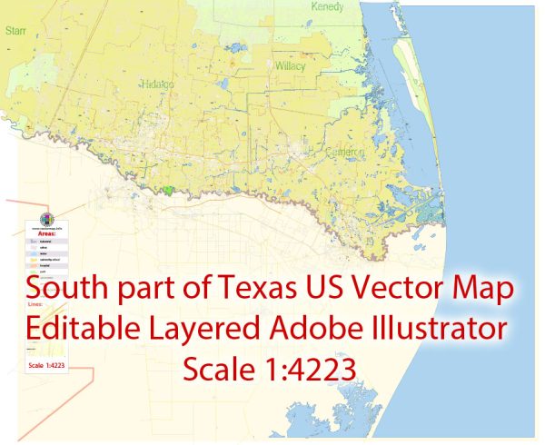
A general overview of the transportation infrastructure in the Brownsville, Harlingen, McAllen, and Edinburg areas of Texas.
Vectormap.Net provide you with the most accurate and up-to-date vector maps in Adobe Illustrator, PDF and other formats, designed for editing and printing. Please read the vector map descriptions carefully.
- Roads and Highways:
- The region is served by a network of highways and roads that connect the cities and facilitate transportation within the area. Major highways include I-69 East, I-2, and I-69C, which help in connecting the cities to the national highway system.
- Public Transportation:
- Public transportation options may include bus services. Each city typically has its own public transit system or may be served by regional transit authorities. These services provide an affordable means of transportation for residents.
- Airports:
- Brownsville is served by the Brownsville South Padre Island International Airport (BRO). It facilitates both domestic and international flights, connecting the region to various destinations.
- McAllen is served by McAllen International Airport (MFE), providing air travel options for the residents.
- While Harlingen and Edinburg may not have major airports, residents can utilize nearby airports for air travel.
- Rail Transportation:
- Railways play a crucial role in transporting goods and commodities. The region might have rail infrastructure supporting both freight and passenger services.
- Ports:
- Brownsville is strategically located near the Gulf of Mexico and has a port, the Port of Brownsville. This port is an essential gateway for trade and commerce, handling various types of cargo, including bulk, breakbulk, and containerized cargo.
- Bicycle and Pedestrian Infrastructure:
- Cities may have developed infrastructure to support non-motorized transportation, such as biking and walking paths. These initiatives aim to promote sustainable and healthy transportation alternatives.
- Border Crossings:
- Given the proximity to the U.S.-Mexico border, there are border crossings and international bridges connecting these cities to their Mexican counterparts. These crossings facilitate the movement of people and goods between the United States and Mexico.
- Infrastructure Development:
- Over time, there may be ongoing infrastructure development projects aimed at improving transportation efficiency, reducing congestion, and enhancing connectivity within and around these cities.
For the most current and specific information on the transportation infrastructure in these areas, it is recommended to check with local transportation authorities, city planning departments, or official government sources as they would have the latest updates and plans.


 Author: Kirill Shrayber, Ph.D.