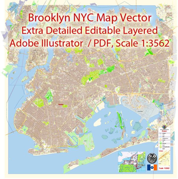
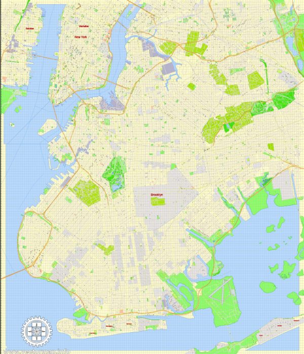
The transportation infrastructure in Brooklyn, New York, is an extensive and well-developed network that includes various modes of transportation to meet the diverse needs of its residents and visitors.
Vectormap.Net provide you with the most accurate and up-to-date vector maps in Adobe Illustrator, PDF and other formats, designed for editing and printing. Please read the vector map descriptions carefully.
- Roads and Highways:
- Brooklyn is well-connected to other boroughs and regions through an extensive road network. Major highways include the Brooklyn-Queens Expressway (I-278), Gowanus Expressway (I-278), and the Belt Parkway.
- Brooklyn’s street grid is well-organized, with a mix of one-way and two-way streets.
- Bridges:
- Brooklyn is linked to Manhattan by several iconic bridges, including the Brooklyn Bridge, Manhattan Bridge, and Williamsburg Bridge. These bridges are crucial for both vehicular and pedestrian traffic.
- Public Transit:
- Subway: The New York City Subway system serves Brooklyn with multiple lines, connecting various neighborhoods to Manhattan and other parts of the city. Major subway lines include the A, C, F, 2, 3, 4, 5, B, D, G, N, Q, and R.
- Bus Services: Brooklyn has an extensive bus network operated by the Metropolitan Transportation Authority (MTA), providing local and express services connecting different neighborhoods within the borough and beyond.
- Rail Transportation:
- Brooklyn is served by the Long Island Rail Road (LIRR), connecting the borough to Long Island and providing commuter rail services.
- Freight railroads also operate in some industrial areas of Brooklyn.
- Cycling Infrastructure:
- Brooklyn has been working to improve its cycling infrastructure with the addition of bike lanes and the implementation of bike-sharing programs.
- Water Transportation:
- Brooklyn’s waterfront allows for water transportation, including the NYC Ferry system that connects various neighborhoods along the East River.
- Airports:
- While there are no airports within Brooklyn itself, the borough is well-connected to several airports, including John F. Kennedy International Airport (JFK) and LaGuardia Airport (LGA), both located in neighboring Queens.
- Pedestrian Infrastructure:
- Sidewalks, crosswalks, and pedestrian-friendly areas are integral to Brooklyn’s urban design. Some neighborhoods, such as Williamsburg and DUMBO, are particularly known for their walkability.
- Car-sharing and Ride-hailing Services:
- Car-sharing services like Zipcar and ride-hailing services like Uber and Lyft operate in Brooklyn, providing additional transportation options.
- Future Developments:
- Various projects and initiatives are ongoing to enhance transportation infrastructure, such as the proposed Brooklyn-Queens Connector (BQX) streetcar line.
It’s advisable to check for the latest updates from local transportation authorities or news sources for any changes or new developments in Brooklyn’s transportation infrastructure.


 Author: Kirill Shrayber, Ph.D. FRGS