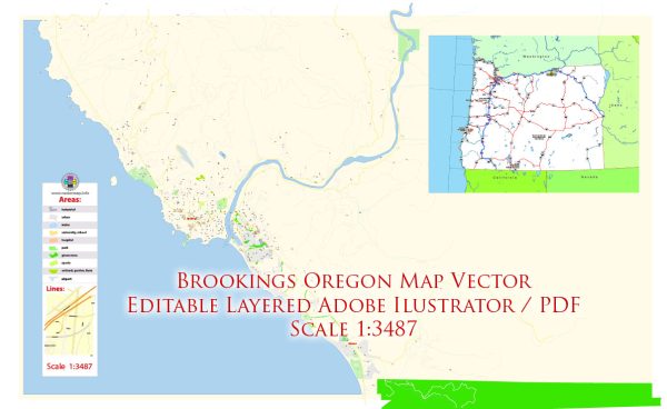
Brookings, Oregon, a general overview based on available information.
Vectormap.Net provide you with the most accurate and up-to-date vector maps in Adobe Illustrator, PDF and other formats, designed for editing and printing. Please read the vector map descriptions carefully.
Economic Overview:
- Key Industries: Brookings, like many coastal towns, has an economy influenced by its proximity to the ocean. Fishing and tourism are significant contributors. The area is known for its natural beauty, with access to beaches, parks, and outdoor recreational activities, which attracts visitors.
- Tourism: Tourism is a vital part of the local economy, with visitors drawn to the scenic beauty of the Oregon coast. The town’s natural attractions, including Harris Beach State Park, Chetco Point Park, and the Samuel H. Boardman State Scenic Corridor, contribute to tourism revenue.
- Fishing: Given its coastal location, Brookings likely has a fishing industry that includes both commercial and recreational activities. The local port may serve as a hub for commercial fishing vessels.
- Small Businesses: Small businesses, including local shops, restaurants, and service providers, often play a role in sustaining the community’s economy.
Transportation Overview:
- Roads: Brookings is accessible by road primarily through U.S. Route 101, which runs along the west coast. This highway connects the town to other cities and regions in Oregon and neighboring states.
- Air Travel: The Del Norte County Regional Airport in nearby Crescent City, California, is the closest airport. For broader air travel options, residents may need to travel to larger airports like Rogue Valley International-Medford Airport in Medford, Oregon.
- Public Transportation: Public transportation options might be limited in smaller towns. Residents likely rely on personal vehicles for daily commuting. There may be local bus services, but the extent of coverage and frequency would depend on the town’s size.
- Port Facilities: Given its coastal location, Brookings may have a small port or harbor, supporting fishing activities and potentially accommodating other maritime activities.
It’s crucial to verify this information with local sources or updated databases, as economic and transportation landscapes can evolve. Local government websites, chambers of commerce, or community profiles may provide more current details about Brookings, Oregon, in terms of its economy and transportation infrastructure.


 Author: Kirill Shrayber, Ph.D. FRGS