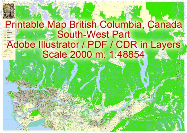
A general overview of the transportation infrastructure in British Columbia, Canada.
Vectormap.Net provide you with the most accurate and up-to-date vector maps in Adobe Illustrator, PDF and other formats, designed for editing and printing. Please read the vector map descriptions carefully.
- Roads and Highways:
- British Columbia has an extensive road network that connects various regions of the province. Major highways include the Trans-Canada Highway (Highway 1), which connects the province to the rest of Canada, and the Coquihalla Highway (Highway 5), which provides a quicker route between Vancouver and the interior.
- Public Transit:
- The Greater Vancouver area, including the city of Vancouver, has a well-developed public transit system operated by TransLink. This includes buses, SkyTrain (automated light rapid transit), and SeaBus (a passenger ferry service).
- Other urban centers in the province also have public transit systems, though they may be less extensive compared to Vancouver.
- Rail Transportation:
- Railways play a crucial role in transporting goods across the province. Canadian National Railway (CNR) and Canadian Pacific Railway (CPR) are two major rail operators in British Columbia.
- Via Rail operates passenger rail services connecting major cities in the province, but rail travel for passengers is generally less common compared to other modes of transportation.
- Airports:
- British Columbia is served by several international and regional airports. Vancouver International Airport (YVR) is the primary gateway for air travel, and it is one of the busiest airports in Canada.
- Other significant airports include Victoria International Airport (YYJ), Kelowna International Airport (YLW), and Abbotsford International Airport (YXX).
- Maritime Transportation:
- Given its coastline along the Pacific Ocean, maritime transportation is essential. The Port of Vancouver is a major gateway for goods coming into and out of Canada. Other significant ports include the Port of Prince Rupert and the Port of Victoria.
- Ferries:
- BC Ferries operates an extensive ferry system connecting coastal communities and facilitating travel to Vancouver Island and other smaller islands. The system plays a crucial role in linking various regions of the province.
- Cycling and Pedestrian Infrastructure:
- Many urban centers in British Columbia have dedicated cycling lanes and pedestrian-friendly infrastructure to encourage sustainable and active modes of transportation.
- Challenges and Future Developments:
- Traffic congestion, especially in the Greater Vancouver area, is a common challenge. Efforts are made to invest in transportation infrastructure to address congestion and improve connectivity.
- Ongoing and planned projects focus on expanding and upgrading highways, public transit systems, and port facilities to accommodate the growing population and economic activities.
For the most current and detailed information, it is recommended to check with local transportation authorities or the provincial government in British Columbia.


 Author: Kirill Shrayber, Ph.D.