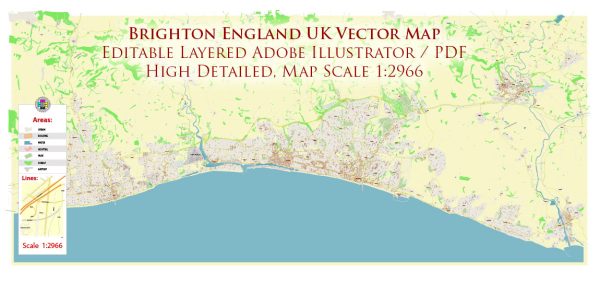
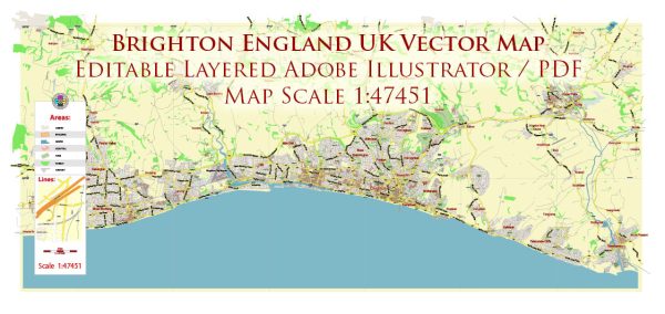
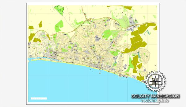
A general overview of the economic and transportation aspects of Brighton, UK.
Vectormap.Net provide you with the most accurate and up-to-date vector maps in Adobe Illustrator, PDF and other formats, designed for editing and printing. Please read the vector map descriptions carefully.
Economic Overview:
1. Economy:
- Brighton has a diverse economy with strengths in sectors such as tourism, digital and creative industries, education, and healthcare.
- The city is known for its vibrant arts and culture scene, attracting creative professionals and contributing to its economic growth.
- The tourism industry is significant, with the famous Brighton Pier, Royal Pavilion, and lively seafront attracting visitors throughout the year.
2. Digital and Creative Industries:
- Brighton has a thriving digital and creative sector, with a concentration of technology companies, design agencies, and media organizations.
- The city hosts events like the Brighton Digital Festival, promoting innovation and collaboration in the digital and creative fields.
3. Education:
- Brighton is home to the University of Brighton and the University of Sussex, contributing to the education sector’s prominence.
- The presence of these universities enhances the city’s appeal as a hub for research, innovation, and academic activities.
4. Healthcare:
- The healthcare sector is significant, with the Royal Sussex County Hospital being a major healthcare facility in the region.
Transportation Overview:
1. Public Transport:
- Brighton has an extensive public transportation network, including buses and trains, connecting the city with neighboring areas.
- The Brighton & Hove Bus Company operates buses within the city, providing convenient transport for residents and visitors.
2. Rail Transport:
- Brighton is a major railway hub, and its central train station, Brighton Railway Station, connects the city to London, Gatwick Airport, and other destinations in the South East.
- The city’s railway links make it a key transportation point for commuters and tourists.
3. Roads and Highways:
- The road network includes major routes such as the A23 and A27, facilitating transportation by car.
- Traffic congestion can be an issue in certain areas, particularly during peak hours.
4. Cycling:
- Brighton is known for its cycling-friendly infrastructure, and many residents use bikes as a mode of transportation.
- The city has dedicated cycling lanes and bike-sharing programs.
5. Airport:
- While Brighton itself doesn’t have an airport, the nearby Gatwick Airport serves as a major international gateway and is easily accessible by train from Brighton.
6. Port:
- The nearby Port of Newhaven provides ferry services to Dieppe, France, offering an additional transportation option.
Please note that economic and transportation landscapes can evolve, so it’s recommended to check more recent sources for the latest information on Brighton’s economic and transportation status.


 Author: Kirill Shrayber, Ph.D. FRGS