A general overview of the economic and transportation landscape in Boston, Massachusetts.
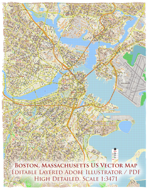
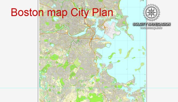
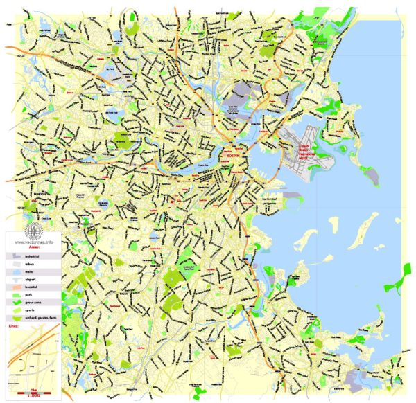
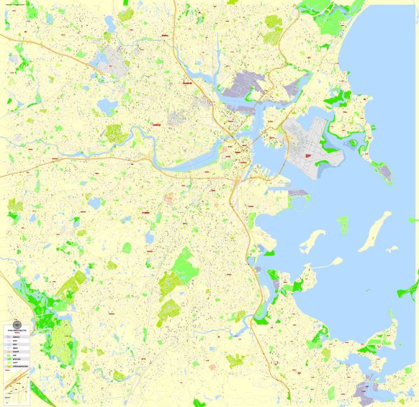
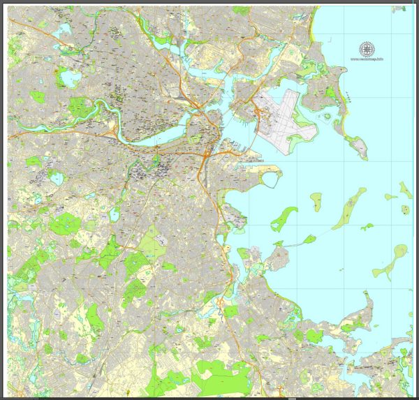
Vectormap.Net provide you with the most accurate and up-to-date vector maps in Adobe Illustrator, PDF and other formats, designed for editing and printing. Please read the vector map descriptions carefully.
Economic Overview: Boston is one of the oldest cities in the United States and serves as the economic and cultural hub of New England. The city has a diverse economy that includes sectors such as finance, technology, education, healthcare, and biotechnology.
- Finance and Technology: The financial sector is a significant contributor to Boston’s economy. The city is home to many prominent financial institutions and investment firms. Additionally, Boston has a thriving technology industry, with numerous startups and established tech companies in the area.
- Education and Healthcare: Boston is renowned for its world-class educational institutions, including Harvard University and the Massachusetts Institute of Technology (MIT). The presence of these institutions contributes significantly to the city’s intellectual capital. The healthcare sector is also a major economic driver, with several prestigious medical institutions and hospitals located in the city.
- Biotechnology and Life Sciences: Boston is a global leader in the biotechnology and life sciences industry. The city’s biotech cluster, often referred to as the “BioTech Hub,” is home to numerous biopharmaceutical companies, research institutions, and laboratories.
- Tourism: Boston attracts millions of tourists each year due to its rich history, cultural attractions, and events. The tourism industry contributes significantly to the local economy, supporting businesses such as hotels, restaurants, and entertainment venues.
Transportation Overview: Boston has a well-developed transportation infrastructure that includes various modes of transportation, making it accessible and convenient for residents and visitors.
- Public Transportation: The Massachusetts Bay Transportation Authority (MBTA) operates the public transportation system in the Greater Boston area. This includes buses, subway (known as the “T”), commuter rail, and ferries. The subway system connects various neighborhoods and suburbs to the city center.
- Road Networks: Boston has a well-maintained road network, though traffic congestion can be a challenge, particularly during rush hours. Major highways such as I-93 and I-90 connect Boston to other cities in the region.
- Logan International Airport: Logan Airport is Boston’s primary airport and a major transportation hub in the region. It provides domestic and international flights, connecting the city to various destinations worldwide.
- Port of Boston: The Port of Boston is a vital maritime facility, handling cargo and serving as a passenger cruise port. It plays a key role in trade and transportation in the region.

 Author: Kirill Shrayber, Ph.D. FRGS