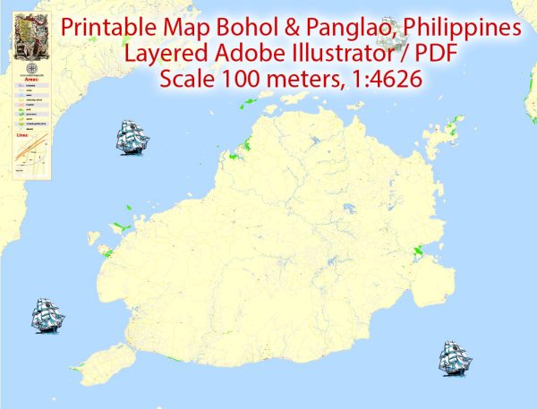
Bohol and Panglao in the Philippines, a general overview of the historical and economic context.
Vectormap.Net provide you with the most accurate and up-to-date vector maps in Adobe Illustrator, PDF and other formats, designed for editing and printing. Please read the vector map descriptions carefully.
Bohol:
- Pre-Colonial Period:
- Like many other regions in the Philippines, Bohol has a rich pre-colonial history. The island was inhabited by the indigenous people known as the Eskaya and the Pintados. They had their own social structures, cultures, and traditions.
- Spanish Colonial Period:
- Spanish explorers arrived in Bohol in the 16th century. The Blood Compact, a historical event, is said to have taken place between the Spanish explorer Miguel López de Legazpi and Datu Sikatuna, a local chieftain, symbolizing friendship and alliance.
- Bohol became part of the Spanish East Indies and was influenced by Spanish culture and governance for centuries.
- American Period:
- After the Spanish-American War, the Philippines, including Bohol, came under American control in 1898. The Americans introduced new political and economic structures, including public education and infrastructure.
- Japanese Occupation and World War II:
- During World War II, the Philippines, including Bohol, fell under Japanese occupation. The war had significant impacts on the region, leading to social and economic disruptions.
- Post-Independence Era:
- The Philippines gained independence from the United States in 1946. Bohol, like the rest of the country, underwent changes in governance and administration.
Panglao:
- Early History:
- Panglao, a small island southwest of Bohol, has a similar historical background to Bohol. It was likely inhabited by indigenous people before the arrival of Spanish colonizers.
- Tourism Development:
- In recent decades, Panglao has become a popular tourist destination, known for its white sandy beaches and dive spots. The growth of tourism has had a significant impact on the local economy.
Both Bohol and Panglao have been experiencing economic growth through tourism, agriculture, and other industries. It’s essential to check more recent sources for the latest developments, especially considering the dynamic nature of politics and economics. Local government initiatives, environmental concerns, and community development projects might have shaped the region further since my last update.


 Author: Kirill Shrayber, Ph.D. FRGS