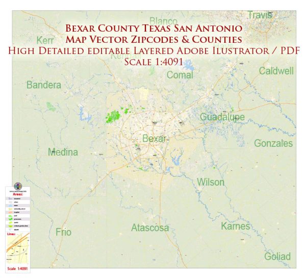
A general overview of the economic and transportation aspects of Bexar County and San Antonio, Texas.
Vectormap.Net provide you with the most accurate and up-to-date vector maps in Adobe Illustrator, PDF and other formats, designed for editing and printing. Please read the vector map descriptions carefully.
Economic Overview:
1. Diverse Economy:
- San Antonio has a diverse economy with key sectors including healthcare, military, tourism, finance, and manufacturing.
- The city hosts major military installations such as Joint Base San Antonio, a significant contributor to the local economy.
- The healthcare and bioscience sectors are also prominent with institutions like the South Texas Medical Center.
2. Tourism:
- Tourism plays a vital role in the economy due to attractions like the Alamo, the River Walk, and numerous cultural events.
- The city is a major convention destination with a substantial hospitality industry.
3. Manufacturing and Technology:
- Manufacturing, particularly in sectors like aerospace and automotive, contributes significantly.
- San Antonio has been fostering a growing technology sector, attracting companies and startups.
4. Financial Services:
- The financial services industry is well-established, with the city serving as a major regional financial hub.
5. Education and Research:
- The presence of academic institutions like the University of Texas at San Antonio (UTSA) contributes to research and education-driven economic activities.
6. Employment:
- Major employers include healthcare institutions, military installations, financial services, and technology companies.
Transportation Overview:
1. Roads and Highways:
- San Antonio is served by a network of major highways, including I-10, I-35, and I-37, facilitating regional and national connectivity.
- The Loop 1604 and Loop 410 serve as important beltways around the city.
2. Public Transportation:
- VIA Metropolitan Transit operates the public transportation system, including buses and a streetcar line.
- Efforts have been made to improve public transit infrastructure to address the city’s growing population and traffic congestion.
3. Airports:
- San Antonio International Airport (SAT) is the primary airport, providing domestic and limited international flights.
- Stinson Municipal Airport serves general aviation.
4. Rail:
- The city has a freight rail presence, with connections to major rail lines facilitating the transportation of goods.
5. Port San Antonio:
- A former Air Force base, Port San Antonio has been repurposed as an industrial and commercial complex, contributing to logistics and distribution activities.
6. Bike and Pedestrian Infrastructure:
- Efforts have been made to improve biking and pedestrian infrastructure, promoting alternative modes of transportation.
Please note that the economic and transportation landscapes can change, and it’s recommended to consult more recent sources for the latest and most accurate information.


 Author: Kirill Shrayber, Ph.D. FRGS