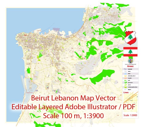
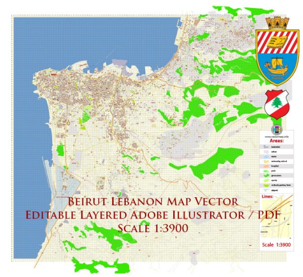
A general overview of the economic and transportation situation in Beirut, Lebanon.
Vectormap.Net provide you with the most accurate and up-to-date vector maps in Adobe Illustrator, PDF and other formats, designed for editing and printing. Please read the vector map descriptions carefully.
Economic Overview:
1. Historical Context:
Beirut has historically been a significant economic and financial hub in the Middle East. However, the city and the country as a whole have faced challenges, including a long history of political instability, civil wars, and more recently, economic crises.
2. Economic Challenges:
- Lebanon faced a severe economic crisis, with high levels of inflation, unemployment, and public debt.
- The local currency, the Lebanese Pound (LBP), experienced significant devaluation, causing a decline in purchasing power.
3. Financial Sector:
- Beirut is known for its financial sector, with the city housing the headquarters of many banks and financial institutions.
- The financial sector has been impacted by the economic crisis, leading to restrictions on withdrawals and transfers.
4. Trade and Tourism:
- Traditionally, Beirut served as a major trade and business center in the region.
- Tourism was an essential contributor to the economy, with visitors attracted to the city’s historical sites, cultural events, and vibrant nightlife.
5. Reconstruction Efforts:
- Beirut has undergone reconstruction efforts over the years, especially after the Lebanese Civil War (1975–1990).
Transportation Overview:
1. Road Infrastructure:
- Beirut has a network of roads and highways connecting it to various regions in Lebanon.
- Traffic congestion is a common issue, especially during peak hours.
2. Public Transport:
- Public transportation includes buses and shared taxis. The city has been working on improving public transport infrastructure.
3. Airport:
- Rafic Hariri International Airport is the primary airport serving Beirut.
- It connects Lebanon to various international destinations.
4. Port of Beirut:
- The Port of Beirut is a vital economic gateway, handling a significant portion of the country’s imports and exports.
5. Challenges after the Beirut Blast:
- In August 2020, a massive explosion occurred at the Port of Beirut, causing widespread damage.
- The blast further strained the country’s economic and transportation infrastructure.
Recent Developments:
- Given the rapidly changing nature of the situation, it’s crucial to check the latest news and reports for updates on the economic and transportation conditions in Beirut.


 Author: Kirill Shrayber, Ph.D. FRGS