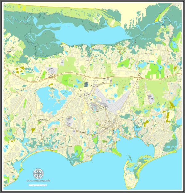
A general overview of the economic and transportation aspects of Barnstable, Massachusetts.
Vectormap.Net provide you with the most accurate and up-to-date vector maps in Adobe Illustrator, PDF and other formats, designed for editing and printing. Please read the vector map descriptions carefully.
Economic Overview:
1. Industries:
- Tourism: Barnstable, located on Cape Cod, benefits significantly from tourism. Its scenic beaches, historical sites, and cultural attractions draw visitors throughout the year.
- Maritime and Fishing: The town has a historical connection to maritime activities and fishing, contributing to its economic base.
- Healthcare and Education: As is common in many communities, healthcare and education sectors often play a role in the local economy.
2. Employment:
- Employment opportunities in Barnstable are diverse, ranging from service-oriented jobs in the tourism industry to healthcare, education, and local businesses.
3. Real Estate:
- Real estate is a crucial aspect, especially considering the town’s appeal as a residential and vacation destination. Housing prices can be influenced by seasonal fluctuations in demand.
Transportation:
1. Roads and Highways:
- Route 6 (Mid-Cape Highway): This major highway connects Barnstable to other parts of Cape Cod and beyond.
- Route 28: Running through the town, it provides access to various villages within Barnstable.
2. Public Transportation:
- Cape Cod Regional Transit Authority (CCRTA): The CCRTA operates bus services connecting different towns on Cape Cod, providing public transportation options.
- Barnstable Municipal Airport: The town has its own airport, providing regional air travel options.
3. Ports and Harbors:
- Barnstable Harbor: This serves as a hub for maritime activities, including fishing and recreational boating.
4. Ferries:
- Hy-Line Cruises and Steamship Authority: These ferry services operate between Barnstable and islands like Nantucket and Martha’s Vineyard.
5. Rail:
- Historically, Cape Cod had a rail system, but passenger rail services are not as prominent today. However, there have been discussions about the potential for the restoration of rail services.
6. Bike Paths:
- The town has invested in bike paths, promoting alternative and eco-friendly transportation options.
Recent Developments:
- Municipalities often undergo changes and improvements. Check local news sources or the town’s official website for the latest updates on economic development projects, infrastructure improvements, or changes in transportation services.
For the most current and specific information, it’s advisable to refer to the latest local government reports, news updates, or contact the relevant local authorities in Barnstable, Massachusetts.


 Author: Kirill Shrayber, Ph.D. FRGS