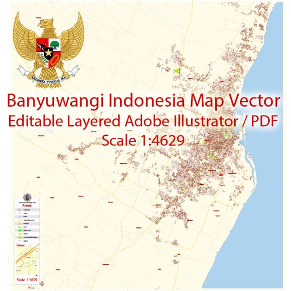
Some general information about the economic and transportation aspects of Banyuwangi, Indonesia.
Vectormap.Net provide you with the most accurate and up-to-date vector maps in Adobe Illustrator, PDF and other formats, designed for editing and printing. Please read the vector map descriptions carefully.
Economic Overview:
1. Agriculture: Banyuwangi is known for its agricultural activities. The region is rich in fertile soil, making it suitable for various crops such as coffee, rubber, and cloves. Agriculture plays a significant role in the local economy, providing employment and contributing to the livelihoods of many residents.
2. Tourism: Banyuwangi has been actively promoting tourism, capitalizing on its natural beauty and cultural attractions. Tourists are drawn to the area for its proximity to Mount Ijen, known for its blue flame phenomenon, stunning beaches, and the Baluran National Park. The tourism sector has been a growing contributor to the local economy.
3. Fisheries: Given its coastal location, fishing is also an essential economic activity. Banyuwangi is home to several traditional fishing communities, and the seafood industry has a notable presence.
4. Infrastructure Development: To support economic growth, there have been ongoing infrastructure developments in Banyuwangi. This includes improvements in roads, bridges, and other transportation infrastructure to facilitate trade and tourism.
Transportation:
1. Air Transport: Banyuwangi has an airport, Banyuwangi International Airport (BWX), which connects the region to other parts of Indonesia. This airport plays a crucial role in facilitating domestic and international travel, especially for tourists visiting the area.
2. Road Network: The road network in Banyuwangi has been developed to connect various parts of the region. This includes roads connecting urban centers, rural areas, and transportation links to neighboring regions.
3. Sea Transport: The coastal location of Banyuwangi makes sea transport an important mode of transportation. The Ketapang Harbor serves as a significant port, facilitating the movement of goods and people by sea.
4. Public Transportation: Public transportation, including buses and minivans, operates within Banyuwangi and connects the town with neighboring areas. The availability and efficiency of public transportation contribute to the mobility of residents and visitors.
5. Rail Transport: Banyuwangi also has a railway station, facilitating train travel to and from the region. The railway network connects Banyuwangi to other major cities in Java, enhancing connectivity.
It’s important to note that economic and transportation dynamics can evolve over time. For the latest and most accurate information, it’s recommended to consult local government sources, economic reports, and transportation authorities in Banyuwangi.


 Author: Kirill Shrayber, Ph.D. FRGS