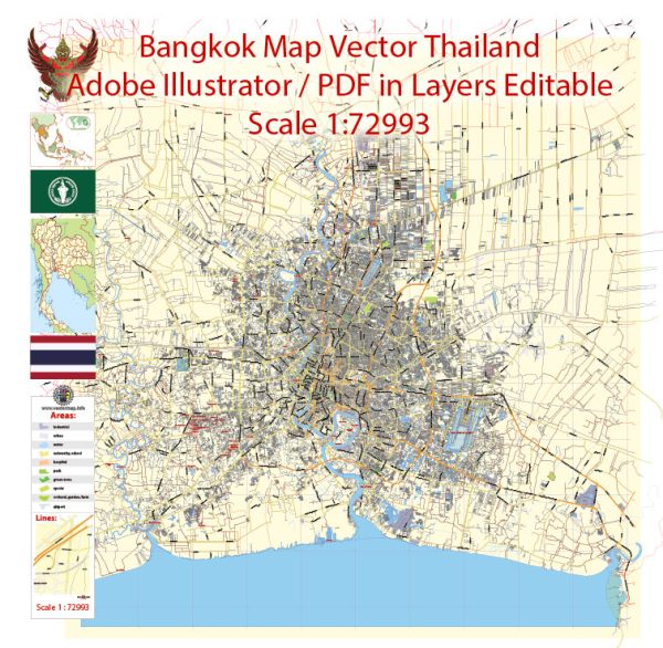
Bangkok, the capital city of Thailand, has a diverse and extensive transportation infrastructure that includes various modes of transportation to accommodate its large population and visitors.
Vectormap.Net provide you with the most accurate and up-to-date vector maps in Adobe Illustrator, PDF and other formats, designed for editing and printing. Please read the vector map descriptions carefully.
- Road Network:
- Expressways and Highways: Bangkok has a well-developed network of expressways and highways that connect different parts of the city and facilitate the flow of traffic. Examples include the Don Mueang Tollway, Burapha Withi Expressway, and the Chalerm Maha Nakhon Expressway.
- City Roads: The city has an extensive road network, ranging from major thoroughfares to smaller streets, providing accessibility to various neighborhoods and business districts.
- Public Transportation:
- BTS Skytrain: The Bangkok Mass Transit System (BTS) operates the Skytrain, an elevated rapid transit system that covers various parts of the city. It helps alleviate traffic congestion and provides a quick means of transportation.
- MRT Subway: The Metropolitan Rapid Transit (MRT) system complements the BTS Skytrain by serving both underground and elevated routes, connecting important areas of the city.
- Public Buses: Bangkok has an extensive bus network operated by the Bangkok Mass Transit Authority (BMTA), offering an affordable mode of transportation for residents and visitors. Buses cover various routes throughout the city.
- Boats and Ferries: The Chao Phraya River runs through Bangkok, and boat services, including public ferries and private boats, are used for transportation along the river and its canals.
- Taxis and Ride-Sharing:
- Taxis are readily available throughout Bangkok, providing a convenient and widely used mode of transportation. Additionally, ride-sharing services like Grab are popular among locals and tourists.
- Motorcycles and Tuk-tuks:
- Motorcycles and tuk-tuks are common modes of transportation, especially in congested areas and narrow streets. Tuk-tuks, in particular, offer a unique and popular way to travel short distances.
- Rail Transportation:
- Apart from the urban rail systems (BTS and MRT), Bangkok is a major railway hub with train services connecting the city to other parts of Thailand. Hua Lamphong is the main railway station in the city.
- Air Transportation:
- Suvarnabhumi Airport and Don Mueang International Airport are the two main airports serving Bangkok. These airports provide both domestic and international flights, making Bangkok a significant air travel hub in Southeast Asia.
- Cycling Infrastructure:
- Efforts have been made to improve cycling infrastructure in Bangkok, with dedicated lanes and bike-sharing programs aimed at promoting sustainable and healthy transportation options.
The transportation infrastructure in Bangkok is continuously evolving to cope with the city’s dynamic growth and address traffic congestion issues. It’s advisable to check for the latest updates and developments if you require the most current information.


 Author: Kirill Shrayber, Ph.D.