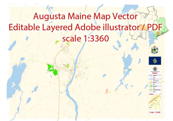
A general overview of the economic and transportation aspects of Augusta, Maine.
Vectormap.Net provide you with the most accurate and up-to-date vector maps in Adobe Illustrator, PDF and other formats, designed for editing and printing. Please read the vector map descriptions carefully.
Economic Overview:
- Diverse Economy: Augusta, as the capital of Maine, has a diverse economy that includes government services, healthcare, education, and manufacturing.
- Government Sector: The government sector plays a significant role due to Augusta being the state capital. State and local government offices, as well as related services, contribute to the economy.
- Healthcare and Education: Augusta is home to healthcare facilities and educational institutions that contribute to the local economy. The Augusta campus of the University of Maine is one such educational institution.
- Manufacturing: Manufacturing also plays a role in Augusta’s economy, with some companies involved in the production of goods.
- Small Businesses: The city has a presence of small businesses, contributing to the overall economic activity.
Transportation:
- Roadways: Augusta is well-connected by road. Interstate 95, a major highway, passes through the city, providing efficient transportation links. Other state routes and local roads facilitate movement within the city and to neighboring areas.
- Public Transit: Augusta has limited public transportation options. The Kennebec Explorer provides bus services, connecting Augusta with neighboring communities.
- Air Transportation: Augusta State Airport serves the city, primarily for general aviation purposes. For commercial flights, residents often use the Portland International Jetport or other regional airports.
- Rail Services: While rail transport is not as prominent in Augusta, the city is part of the larger rail network in the state of Maine. Freight services are more common than passenger services.
- Ports and Waterways: Augusta is inland and doesn’t have direct access to the ocean. However, the Kennebec River, which runs through Augusta, historically played a role in transportation and trade.
- Bicycle and Pedestrian Infrastructure: Efforts to improve bicycle and pedestrian infrastructure contribute to alternative transportation options within the city.
It’s important to note that developments and changes in the economic and transportation landscape can occur, and for the most current and detailed information, it’s recommended to refer to local government reports, economic studies, and transportation authorities in Augusta, Maine.


 Author: Kirill Shrayber, Ph.D. FRGS