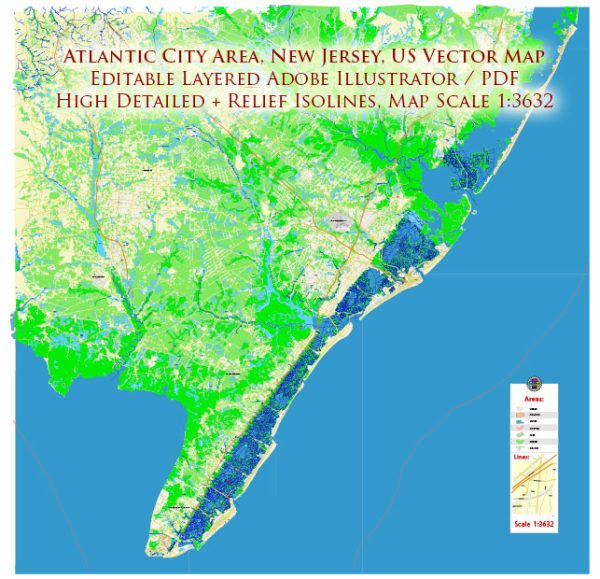
A general overview of the economic and transportation aspects of Atlantic City, New Jersey.
Vectormap.Net provide you with the most accurate and up-to-date vector maps in Adobe Illustrator, PDF and other formats, designed for editing and printing. Please read the vector map descriptions carefully.
Economic Overview:
- Tourism and Entertainment:
- Atlantic City is primarily known for its tourism and entertainment industry. The city is famous for its casinos, hotels, and resorts, attracting visitors from the surrounding areas and beyond.
- The casino industry has historically been a significant economic driver, providing employment opportunities and contributing to the local economy.
- Employment:
- The service sector, including hospitality, retail, and entertainment, plays a crucial role in providing jobs in Atlantic City.
- Besides the casino industry, employment opportunities may also arise in the healthcare, education, and public administration sectors.
- Challenges:
- Atlantic City has faced economic challenges, including competition from neighboring states that have also legalized gambling, leading to a decline in the city’s monopoly on the casino industry.
- Economic revitalization efforts have been ongoing to diversify the economy and reduce dependence on the casino sector.
Transportation:
- Roads:
- Atlantic City is accessible by major highways, including the Atlantic City Expressway, which connects the city to Philadelphia and other parts of New Jersey.
- Public transportation via buses is available for commuting within the city and to nearby areas.
- Air Travel:
- The city is served by Atlantic City International Airport (ACY), located about 9 miles northwest of the city center. The airport provides domestic flights and facilitates tourism and business travel.
- Rail:
- While Atlantic City itself does not have a direct passenger rail service, the nearby city of Absecon has a train station served by New Jersey Transit’s Atlantic City Line, connecting to Philadelphia’s 30th Street Station and other locations.
- Bus Services:
- Public bus services operated by NJ Transit and other regional carriers connect Atlantic City to neighboring cities and towns, providing an alternative means of transportation.
- Taxi and Ride-Sharing:
- Taxis and ride-sharing services are available within Atlantic City for local transportation.
- Walking and Biking:
- The city is pedestrian-friendly, particularly along the famous Atlantic City Boardwalk. Biking is also a popular means of getting around, and there are bike rental services available.
Ongoing Developments:
- Economic Diversification:
- Efforts have been made to diversify the economy beyond the casino industry, with a focus on attracting businesses in different sectors to promote sustained growth.
- Infrastructure Improvements:
- Ongoing projects may include infrastructure improvements aimed at enhancing transportation networks and connectivity.
It’s advisable to check more recent sources for the latest developments in Atlantic City’s economy and transportation system as the information provided here might be subject to change.


 Author: Kirill Shrayber, Ph.D. FRGS