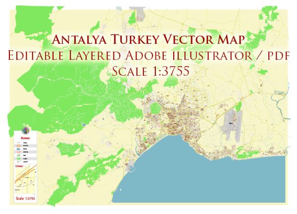
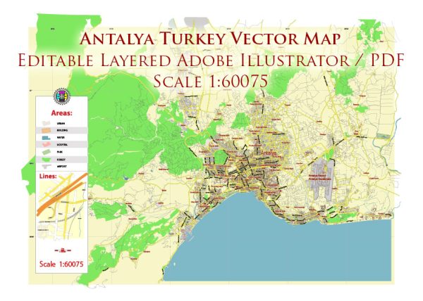
A general overview of the economic and transportation aspects of Antalya, Turkey.
Vectormap.Net provide you with the most accurate and up-to-date vector maps in Adobe Illustrator, PDF and other formats, designed for editing and printing. Please read the vector map descriptions carefully.
Economic Overview:
Antalya is a major city located on the southwestern coast of Turkey, and it is known for its tourism industry, agriculture, and trade. The city has a diverse economy that includes various sectors:
- Tourism: Antalya is a popular tourist destination, attracting millions of visitors each year. The city is known for its stunning beaches, historical sites, and vibrant culture. The tourism sector plays a crucial role in the local economy, contributing significantly to employment and income.
- Agriculture: The surrounding region of Antalya is fertile and suitable for agriculture. The city is a major producer of fruits and vegetables, including citrus fruits, tomatoes, cucumbers, and peppers. Agriculture is an important source of income for many residents in the region.
- Trade and Commerce: Antalya serves as a regional trade hub, with its port facilitating the import and export of goods. The city’s strategic location on the Mediterranean coast makes it an important center for trade and commerce.
- Industry: While not as prominent as tourism and agriculture, Antalya has some industrial activities, including food processing, textile manufacturing, and construction.
Transportation:
Antalya has a well-developed transportation infrastructure to support its economic activities and cater to the needs of residents and tourists:
- Air Transportation: Antalya has an international airport, Antalya Airport (IATA: AYT), which is one of the busiest airports in Turkey. It serves as a major gateway for tourists visiting the region.
- Road Transportation: The city is well-connected by road, with a network of highways and roads linking Antalya to other major cities in Turkey. Public transportation within the city includes buses and taxis.
- Port: Antalya has a commercial port that handles cargo and facilitates trade. The port is an essential component of the city’s economic infrastructure.
- Public Transportation: Antalya has a public transportation system that includes buses and trams. These modes of transportation help residents and visitors navigate the city and its surroundings.
- Car Rental and Taxis: Due to its role as a tourist destination, Antalya offers various car rental services, and taxis are readily available for transportation within the city.


 Author: Kirill Shrayber, Ph.D. FRGS