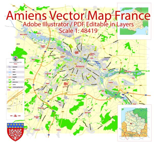
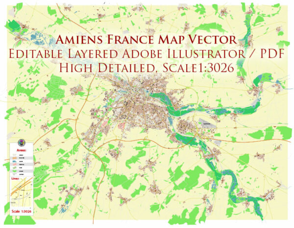
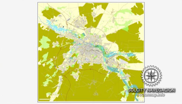
Some general information about the economic and transportation aspects of Amiens, France.
Vectormap.Net provide you with the most accurate and up-to-date vector maps in Adobe Illustrator, PDF and other formats, designed for editing and printing. Please read the vector map descriptions carefully.
Economic Overview:
1. Diversified Economy:
Amiens, the capital of the Somme department in the Hauts-de-France region, has a diversified economy. Historically, the city’s economy has been linked to agriculture, particularly due to its location in a fertile agricultural region.
2. Agriculture:
The surrounding area of Amiens is known for its agriculture, including the cultivation of cereals, sugar beets, and vegetables. The city plays a role as a market and distribution center for agricultural products.
3. Industry:
Amiens has a presence of various industries, including manufacturing and food processing. The city is home to industrial activities such as textiles, metallurgy, and chemical production.
4. Service Sector:
Like many modern cities, Amiens has a growing service sector, which includes finance, education, healthcare, and tourism. The city’s historical and cultural attractions contribute to its appeal for tourists.
5. Research and Innovation:
The city also has institutions and initiatives focused on research and innovation, contributing to the knowledge-based economy.
Transportation:
1. Road Network:
Amiens is well-connected by road. The A16 and A29 autoroutes serve the city, linking it to major urban centers in France and neighboring countries. The road infrastructure facilitates the transportation of goods and people.
2. Rail Transport:
Amiens has a central railway station, Gare d’Amiens, providing rail connections to major cities in France. The railway network is an essential component of both passenger and freight transportation.
3. Public Transportation:
Amiens has a public transportation system, including buses, that serves the urban and suburban areas. Public transit is crucial for daily commuting within the city.
4. Waterways:
The city is situated on the Somme River, and historically, waterways played a significant role in transportation. However, the importance of water transport has diminished over time.
5. Air Transport:
Amiens does not have its own commercial airport. The nearest major airport is Beauvais-Tillé Airport, located about 80 kilometers southwest of Amiens. Alternatively, travelers can access international flights through major airports in Paris.
Please note that economic and transportation landscapes can evolve, so it’s advisable to consult more recent and specific sources for the latest information on Amiens’ economic and transportation status.


 Author: Kirill Shrayber, Ph.D.