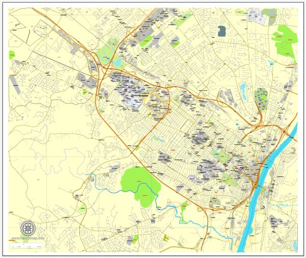
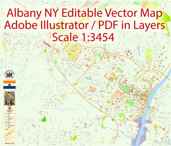
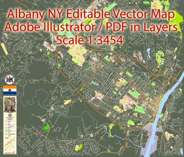
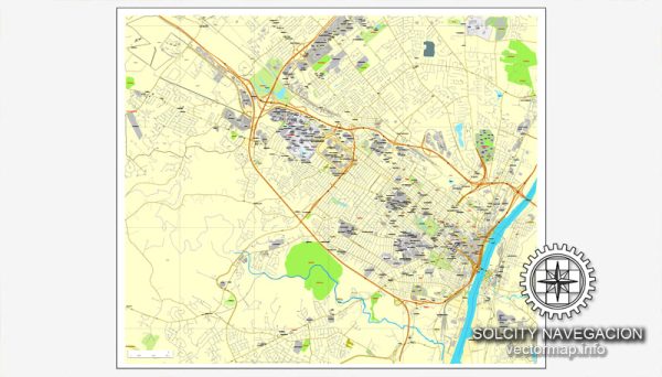
Albany is the capital city of the state of New York, United States.
It is one of the oldest cities in the United States and has a rich history that dates back to the early 17th century.
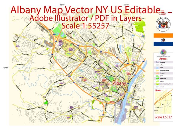
Vectormap.Net provide you with the most accurate and up-to-date vector maps in Adobe Illustrator, PDF and other formats, designed for editing and printing. Please read the vector map descriptions carefully.
Here’s a detailed description of Albany, New York:
- Location: Albany is located in the eastern part of New York State, along the west bank of the Hudson River. It is situated about 135 miles north of New York City and is part of the larger Capital District, which includes the nearby cities of Schenectady and Troy.
- History: Albany’s history is deeply intertwined with the history of the United States. It was originally inhabited by Native American tribes before the arrival of European settlers. The Dutch established Fort Nassau in the area in 1614, and Albany became a major trading and transportation hub during the Dutch and British colonial periods. It played a significant role during the American Revolution and later served as the state capital since 1797.
- Government and Economy: As the capital of New York, Albany is a center for government and politics. The New York State Capitol, a grand 19th-century building, houses the state legislature. The city is also home to various state government offices and agencies. Apart from government, the economy is diverse and includes sectors like healthcare, education, technology, and finance.
- Architecture: Albany boasts a mix of architectural styles that reflect its long history. The city features historic buildings from the Dutch and British colonial periods, as well as impressive examples of 19th-century architecture. The New York State Capitol, the Albany City Hall, and the Albany Rural Cemetery are notable architectural landmarks.
- Education: Albany is home to several higher education institutions, including the University at Albany, part of the State University of New York (SUNY) system. The city has a thriving academic community, contributing to its cultural and intellectual vibrancy.
- Culture and Recreation: Albany offers a range of cultural and recreational activities. The city hosts various festivals, events, and museums. The Albany Institute of History & Art, the New York State Museum, and the Palace Theatre are popular cultural attractions. Outdoor enthusiasts can explore nearby parks, such as Washington Park and the Albany Pine Bush Preserve.
- Transportation: Albany is well-connected by various transportation modes. Interstate 87 and Interstate 90 intersect in the city, providing excellent road connectivity. Albany International Airport serves the region for air travel. Amtrak and commuter rail services connect Albany to other major cities in the Northeast, and the city is a transportation hub for bus services.
- Demographics: Albany has a diverse population, and its demographic makeup reflects the broader diversity of the United States. The city has a mix of residential neighborhoods, each with its own character and charm.
Albany, with its historical significance, cultural richness, and economic importance, continues to be a vital part of the state of New York. It offers a blend of tradition and modernity, making it an interesting and dynamic city to explore.

 Author: Kirill Shrayber, Ph.D.