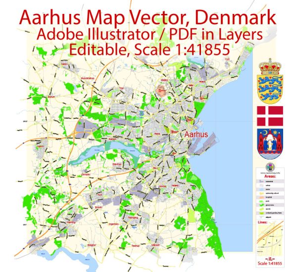
Aarhus, often spelled “Århus” in Danish, is the second-largest city in Denmark and serves as the principal port and economic center of the Jutland peninsula.
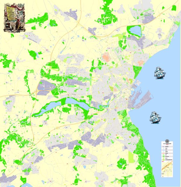
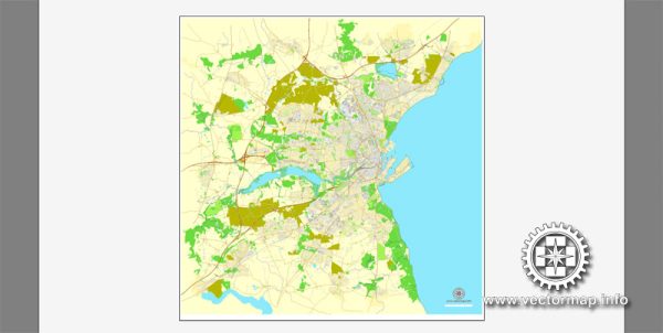
Vectormap.Net provide you with the most accurate and up-to-date vector maps in Adobe Illustrator, PDF and other formats, designed for editing and printing. Please read the vector map descriptions carefully.
Here’s a detailed description of Aarhus:
Geography:
- Location: Aarhus is situated on the east coast of the Jutland peninsula, overlooking the Bay of Aarhus in the Kattegat Sea.
- Size: It covers an area of approximately 91 square kilometers.
History:
- Ancient Roots: Aarhus has a rich history dating back to the Viking Age, and archaeological evidence suggests settlements in the area as far back as the 8th century.
- Medieval City: It grew as a medieval trading and fishing town, receiving its municipal charter in the early 15th century.
- Modern Development: Over the centuries, Aarhus evolved into a modern city with a mix of historic and contemporary architecture.
Culture and Attractions:
- ARoS Aarhus Kunstmuseum: This is the city’s main art museum, known for its iconic rainbow panorama, a circular walkway with panoramic views of the city.
- The Old Town (Den Gamle By): Aarhus boasts an open-air museum representing a historic Danish town with buildings from different periods.
- Aarhus Cathedral (Aarhus Domkirke): A medieval cathedral, it stands as an impressive example of Gothic architecture.
- Moesgaard Museum: Located just south of Aarhus, this museum focuses on archaeology and ethnography, featuring exhibits on Danish prehistory and ancient civilizations.
- Music and Festivals: Aarhus is known for its vibrant music scene and hosts various festivals throughout the year, including the Aarhus International Jazz Festival and the NorthSide Festival.
Education and Research:
- Aarhus University: Established in 1928, Aarhus University is one of Denmark’s leading institutions for higher education and research.
- Science and Technology Hub: The city is a hub for science and technology, with a focus on innovation and research.
Economy:
- Port and Trade: Aarhus has a significant port, contributing to its role as a vital economic center for the region. Trade and shipping activities play a crucial role in the city’s economy.
- Industry: The city has a diverse industrial base, including manufacturing, technology, and research-driven sectors.
Infrastructure:
- Transportation: Aarhus has a well-developed transportation network, including a modern bus system, a light rail system (Aarhus Letbane), and a central train station connecting the city to other parts of Denmark.
- Aarhus Airport: The city is served by Aarhus Airport, which provides domestic and international flights.
Quality of Life:
- Green Spaces: Aarhus is known for its parks and green spaces, providing residents and visitors with recreational areas.
- Cultural Scene: The city’s cultural life, including theaters, galleries, and music venues, contributes to a lively and dynamic atmosphere.
Aarhus is a city that seamlessly combines its rich history with a modern and innovative outlook, making it a dynamic and attractive place to live and visit.


 Author: Kirill Shrayber, Ph.D.