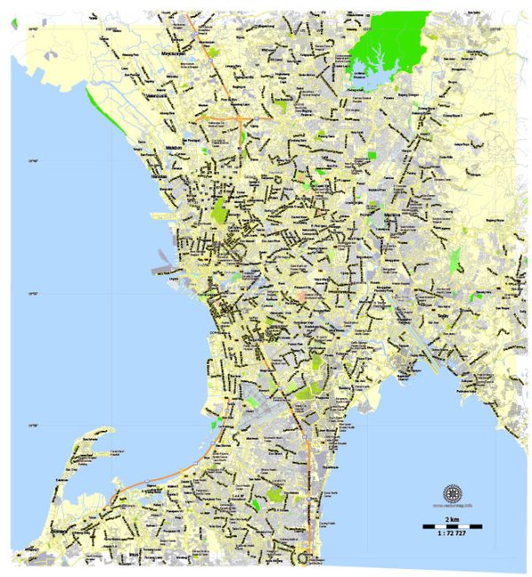
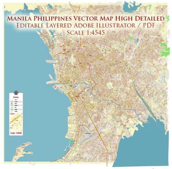
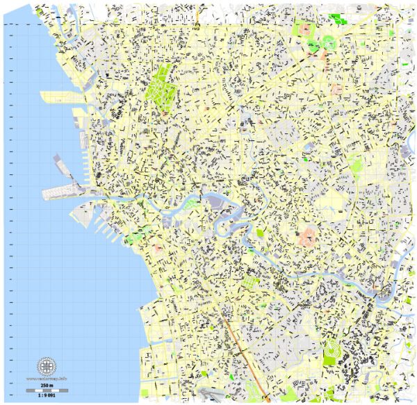
Manila is the capital and largest city of the Philippines, located on the western side of Luzon, the country’s largest island. It is a vibrant and dynamic metropolis that serves as the economic, cultural, and political center of the Philippines.
Vectormap.Net provide you with the most accurate and up-to-date vector maps in Adobe Illustrator, PDF and other formats, designed for editing and printing. Please read the vector map descriptions carefully.
Here’s a detailed description of Manila:
Geography: Manila is situated along the eastern shore of Manila Bay and faces the South China Sea. The city is part of the National Capital Region (NCR), which also includes several surrounding cities and municipalities. The Pasig River, flowing through the city, divides it into northern and southern sections.
History: Manila has a rich history dating back to pre-colonial times when it was a thriving Muslim settlement. The Spanish conquistadors arrived in 1571 and established it as the capital of the Spanish East Indies. The city played a crucial role in the Galleon Trade, connecting Asia with the Americas. Over the centuries, Manila experienced periods of colonization, occupation, and war, including Japanese occupation during World War II. It became the capital of the independent Republic of the Philippines in 1946.
Culture and Lifestyle: Manila is a melting pot of cultures, with influences from indigenous Filipino, Spanish, Chinese, and American cultures. This diversity is reflected in the city’s architecture, cuisine, and traditions. The city is known for its lively street life, bustling markets, and vibrant festivals. Intramuros, the historic walled city built during the Spanish colonial period, is a popular tourist destination, featuring well-preserved Spanish-era churches, plazas, and fortifications.
Economy: As the economic hub of the Philippines, Manila is home to the country’s central business district, Makati, and other important business districts like Bonifacio Global City (BGC) and Ortigas Center. The city hosts the headquarters of numerous multinational corporations, financial institutions, and government offices. It is a major center for commerce, finance, and trade, contributing significantly to the country’s economy.
Transportation: Manila has a comprehensive transportation network, including buses, jeepneys (a popular local mode of transport), taxis, and the Metro Rail Transit (MRT) and Light Rail Transit (LRT) systems. However, traffic congestion can be a challenge in the city. Manila also serves as a major gateway to the Philippines, with Ninoy Aquino International Airport (NAIA) being the primary international airport.
Education and Healthcare: Manila is a hub for education and healthcare in the Philippines. It houses several prestigious universities, including the University of the Philippines, Ateneo de Manila University, and De La Salle University. The city is also known for its world-class medical facilities and hospitals.
Tourist Attractions: Apart from Intramuros, Manila offers various tourist attractions such as Rizal Park, Manila Ocean Park, the National Museum complex, and the cultural district of Malate. The city is also a gateway to other destinations in the Philippines, such as Tagaytay, Batangas, and the beaches of Luzon.
While Manila faces challenges like urban poverty and traffic congestion, it remains a vibrant and culturally rich city that continues to play a pivotal role in the Philippines’ development and history.


 Author: Kirill Shrayber, Ph.D. FRGS