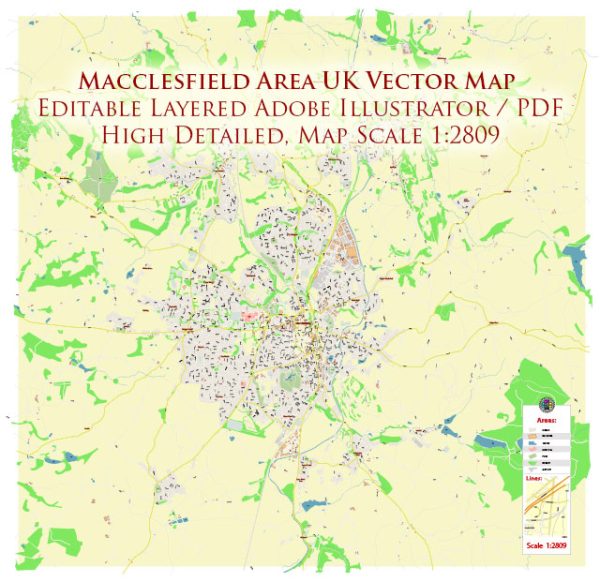
Macclesfield is a market town and civil parish in the unitary authority of Cheshire East in Cheshire, England. It is located approximately 16 miles south of Manchester and 38 miles east of Chester. The town sits on the edge of the Cheshire Plain and the Peak District National Park, offering a mix of urban and rural landscapes.
Vectormap.Net provide you with the most accurate and up-to-date vector maps in Adobe Illustrator, PDF and other formats, designed for editing and printing. Please read the vector map descriptions carefully.
Here are some key aspects of Macclesfield:
- History and Heritage: Macclesfield has a rich history dating back to the medieval period. The town’s name is believed to have originated from a corruption of the Old English words “Maccel” and “feld,” meaning “Maccel’s open country.” The silk industry played a significant role in Macclesfield’s history, and the town was once renowned for its silk production during the 18th and 19th centuries.
- Landmarks and Architecture:
- St. Michael’s Church: A medieval church with a distinctive tower, located in the town center.
- Macclesfield Town Hall: A Victorian building known for its elegant architecture, hosting various events and functions.
- Paradise Mill: A preserved silk mill, providing insight into Macclesfield’s silk heritage.
- Silk Industry Heritage: Macclesfield gained prominence for its silk industry during the Industrial Revolution. Silk mills were established in the town, and Macclesfield silk became highly sought after. While the industry has declined, remnants of its legacy can still be seen in some of the town’s architecture and museums.
- Culture and Arts:
- Silk Museum: Showcasing the history of Macclesfield’s silk industry, the Silk Museum is a popular attraction for visitors.
- Barnaby Festival: An annual arts and culture festival that celebrates creativity and community spirit.
- Transportation: Macclesfield is well-connected by road and rail. The M6 motorway is accessible to the west, providing links to Manchester and other major cities. The town’s railway station offers regular services to Manchester, Stoke-on-Trent, and London.
- Education: Macclesfield is home to several primary and secondary schools, along with educational institutions like Macclesfield College, providing further education opportunities.
- Recreation and Green Spaces:
- South Park: A large public park with playgrounds, sports facilities, and open spaces for recreational activities.
- Teggs Nose Country Park: Located nearby, this country park offers stunning views of the Cheshire Plain and the Peak District.
- Economy: While the silk industry is no longer as dominant, Macclesfield has a diverse economy, including retail, services, and manufacturing.
Overall, Macclesfield combines historical charm, cultural vibrancy, and access to picturesque natural landscapes, making it an attractive place to live and visit in Cheshire.


 Author: Kirill Shrayber, Ph.D.