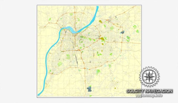
Louisville, Kentucky, is divided into several districts and neighborhoods, each with its unique character and charm.
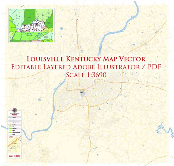
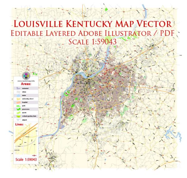
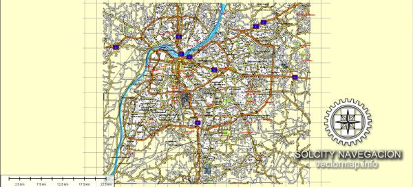
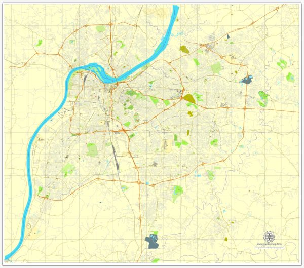
Vectormap.Net provide you with the most accurate and up-to-date vector maps in Adobe Illustrator, PDF and other formats, designed for editing and printing. Please read the vector map descriptions carefully.
Here’s an overview of some of the prominent districts and neighborhoods in the city:
- Downtown Louisville:
- Central Business District (CBD): This area is the city’s commercial and financial hub, featuring office buildings, hotels, and government offices. The KFC Yum! Center, a major sports and entertainment venue, is located here.
- Museum Row: Home to several museums, including the Muhammad Ali Center and the Frazier History Museum, this area offers a cultural and educational experience.
- Old Louisville:
- Known for its historic Victorian architecture, Old Louisville is one of the largest preservation districts in the United States. The neighborhood features tree-lined streets, charming homes, and Central Park, a beautiful public space.
- Highlands:
- A trendy and eclectic area, the Highlands is known for its diverse population, unique boutiques, and a vibrant nightlife. Bardstown Road, the main thoroughfare, is lined with restaurants, bars, and locally-owned shops.
- NuLu (East Market District):
- Short for “New Louisville,” NuLu is an arts and cultural district known for its galleries, studios, and hip boutiques. It’s an area that has undergone revitalization, attracting artists and entrepreneurs.
- Germantown:
- A historic neighborhood with a strong sense of community, Germantown features shotgun-style houses and a mix of traditional and modern architecture. The area has a reputation for excellent local restaurants and pubs.
- Clifton:
- Adjacent to the Highlands, Clifton is a residential neighborhood known for its historic homes and tree-lined streets. The Frankfort Avenue corridor in Clifton offers a variety of shops, restaurants, and coffeehouses.
- Crescent Hill:
- This neighborhood along Frankfort Avenue is characterized by its historic homes and a mix of residential and commercial spaces. It has a suburban feel with parks, locally-owned businesses, and a farmer’s market.
- Butchertown:
- Formerly an industrial area, Butchertown has transformed into a trendy district with art galleries, breweries, and unique shopping experiences. The historic Butchertown Market is a popular destination.
- St. Matthews:
- Known for its shopping centers, including the large Oxmoor Center, St. Matthews is a commercial and residential area with a mix of housing styles. It offers a suburban feel while being close to downtown.
- Jeffersontown (J-Town):
- Located to the southeast of Louisville, Jeffersontown is a suburban community with a mix of residential and commercial areas. It has a historic town square and hosts events like the Gaslight Festival.
- Portland:
- Situated along the Ohio River, Portland is a historic neighborhood with a mix of residential and industrial spaces. It has experienced revitalization efforts in recent years.
These descriptions provide a glimpse into the diversity and richness of Louisville’s neighborhoods. Each area has its own unique character, making the city a vibrant and dynamic place to live and explore.

 Author: Kirill Shrayber, Ph.D.