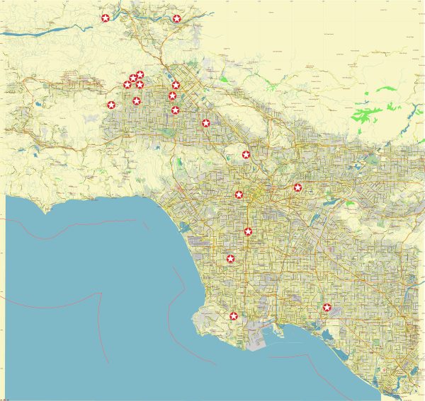
The infrastructure in Northwest Los Angeles, like the rest of the city, includes a comprehensive network of transportation, utilities, and public facilities.
Vectormap.Net provide you with the most accurate and up-to-date vector maps in Adobe Illustrator, PDF and other formats, designed for editing and printing. Please read the vector map descriptions carefully.
Here is an overview:
- Transportation:
- Roads and Highways: Northwest Los Angeles is well-connected through a network of roads and highways. Major routes include the Interstate 405 (San Diego Freeway), Interstate 10 (Santa Monica Freeway), and U.S. Route 101 (Ventura Freeway).
- Public Transit: The Los Angeles County Metropolitan Transportation Authority (Metro) provides public transit services. Bus routes and rail lines, including the Metro Red Line, serve the area.
- Airports:
- Los Angeles International Airport (LAX): While LAX is not located in Northwest LA, it serves as a major international gateway for the entire region, including the northwest neighborhoods.
- Utilities:
- Electricity and Gas: Southern California Edison and SoCalGas are the major utility providers for electricity and natural gas.
- Water and Sewer: The Los Angeles Department of Water and Power (LADWP) manages water and sewer services for the city.
- Education:
- The region is home to several educational institutions, including the University of California, Los Angeles (UCLA) in Westwood, and Loyola Marymount University near Marina del Rey.
- Healthcare:
- The area is served by various hospitals and medical facilities, including the Ronald Reagan UCLA Medical Center and Cedars-Sinai Medical Center.
- Cultural and Recreational Facilities:
- Museums: The Getty Center in Brentwood is a prominent cultural institution, housing an extensive art collection.
- Parks and Recreation: Pacific Palisades, for example, offers parks and outdoor spaces, while Griffith Park, though more central, provides recreational opportunities to nearby communities.
- Commercial and Retail Centers:
- Upscale shopping districts, such as Rodeo Drive in Beverly Hills and The Grove in the Mid-City area, offer a range of retail and dining options.
- The Westfield Century City Mall in West Los Angeles is a major shopping destination.
- Technology and Innovation:
- The area hosts tech and entertainment hubs, including parts of Santa Monica (Silicon Beach), which has become a hotspot for tech companies and startups.
- Emergency Services:
- Fire and police services are provided by the Los Angeles Fire Department (LAFD) and the Los Angeles Police Department (LAPD), respectively.
- Infrastructure Development:
- Ongoing and future projects aimed at improving transportation, utilities, and public spaces are common in Los Angeles. These may include road expansions, public transit enhancements, and community development initiatives.
It’s essential to note that the specifics of infrastructure can change over time due to ongoing development and improvements. Local government agencies and organizations play a crucial role in maintaining and upgrading the infrastructure to meet the needs of the growing population and ensure the well-being of the community.


 Author: Kirill Shrayber, Ph.D. FRGS