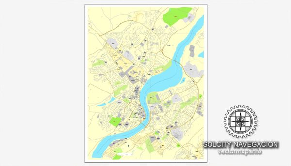
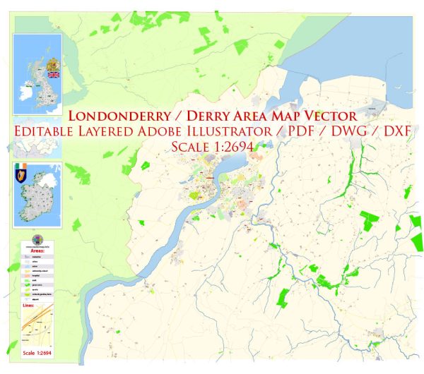
Londonderry/Derry is divided into several districts and neighborhoods, each with its own distinct character and history. The city is known for its historic walled city center and various neighborhoods that have evolved over the centuries.
Vectormap.Net provide you with the most accurate and up-to-date vector maps in Adobe Illustrator, PDF and other formats, designed for editing and printing. Please read the vector map descriptions carefully.
Here are some of the notable districts and neighborhoods in Londonderry/Derry:
- City Center:
- The historic heart of Londonderry is the walled city center. It is home to landmarks such as the Guildhall, the Diamond (a central square), and the city walls themselves.
- The city walls offer panoramic views of the River Foyle and the surrounding areas.
- The city center is vibrant, with a mix of shops, restaurants, pubs, and cultural institutions.
- The Fountain:
- Located just outside the city walls, The Fountain is a predominantly Unionist neighborhood. It has historical significance and has been a Unionist stronghold.
- The area is known for its close-knit community and has witnessed various historical events during the Troubles.
- Bogside:
- Bogside is a predominantly Nationalist neighborhood situated outside the city walls to the west. It gained international attention during the Troubles, especially with events like Bloody Sunday in 1972.
- The area is known for its political murals, which depict the city’s history and the struggles of the Nationalist community.
- The Museum of Free Derry provides insight into the history of the area during the conflict.
- Creggan:
- Creggan is a residential area located to the south of the city center. It is predominantly Nationalist and was also affected by the Troubles.
- The district has a mix of housing types, parks, and community facilities.
- Waterside:
- Situated on the east bank of the River Foyle, the Waterside is a predominantly Unionist area. It is connected to the city center by several bridges.
- The district has a mix of residential and commercial areas, and it is home to various schools and community facilities.
- Rosemount:
- Rosemount is a residential neighborhood to the northwest of the city center. It is known for its Victorian and Edwardian architecture.
- The area has a diverse community and offers a range of amenities, including shops, schools, and parks.
- Shantallow:
- Shantallow is a residential area located to the northeast of the city center. It has a mix of housing types, schools, and shopping facilities.
- The district has a community center and is known for its active community engagement.
- Foyle Springs:
- Foyle Springs is a residential area situated to the northeast of the city center. It has a mix of housing estates and community facilities.
- The district is known for its community spirit and proximity to outdoor spaces.
These descriptions provide a broad overview of some of the districts and neighborhoods in Londonderry/Derry. Each area has its own unique history and contributes to the overall cultural tapestry of the city. It’s important to note that the city’s history, particularly during the Troubles, has influenced the social and cultural dynamics of these neighborhoods.


 Author: Kirill Shrayber, Ph.D. FRGS