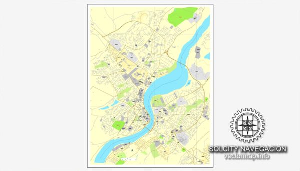
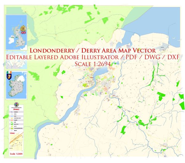
Londonderry, also known simply as Derry, is a city in Northern Ireland, United Kingdom. It is the second-largest city in Northern Ireland and the fourth-largest in the entire island of Ireland. The city is situated on the west bank of the River Foyle and is known for its rich history, cultural heritage, and distinctive dual name, reflecting the complex political and cultural landscape of the region.
Vectormap.Net provide you with the most accurate and up-to-date vector maps in Adobe Illustrator, PDF and other formats, designed for editing and printing. Please read the vector map descriptions carefully.
Here are some key aspects of Londonderry/Derry:
- History:
- The city has a long and turbulent history, dating back to the 6th century when it was founded as a monastery by St. Columba.
- In the 17th century, during the Plantation of Ulster, the city became an important settlement for Scottish and English settlers.
- The name “Londonderry” was given to the city in the early 17th century by the London-based companies that funded the plantation.
- The city played a significant role in the Siege of Derry (1688-1689), a key event in the Williamite War in Ireland.
- Culture and Heritage:
- Londonderry/Derry has a rich cultural heritage, with a blend of Irish and British influences.
- The city’s walls, which were built in the early 17th century, are one of the best-preserved examples of city fortifications in Europe and are a designated UNESCO World Heritage site.
- The Guildhall, a stunning neo-gothic building, is a prominent landmark and serves as a cultural and political hub for the city.
- Peace Bridge:
- The Peace Bridge, opened in 2011, is a notable modern addition to the city’s landscape. It spans the River Foyle, connecting the city center with the Ebrington Square on the other side.
- Political Significance:
- The city has been a focal point of political tensions and conflicts during the Troubles, a period of ethno-nationalist conflict in Northern Ireland from the late 1960s to the Good Friday Agreement in 1998.
- The naming of the city itself, with the dual names Londonderry and Derry, reflects the historical and political divisions between the Unionist and Nationalist communities.
- Economy and Education:
- Londonderry/Derry has a diverse economy, with sectors such as manufacturing, services, and tourism playing key roles.
- The city is home to the Magee Campus of Ulster University, contributing to its educational and research profile.
- Cultural Events:
- The city hosts various cultural events, including the Derry Halloween Festival, which is one of the largest Halloween celebrations in Europe.
- Surrounding Areas:
- The scenic countryside surrounding the city offers opportunities for outdoor activities, and the Causeway Coastal Route, a popular tourist route, is easily accessible.
Despite its troubled past, Londonderry/Derry has made significant strides toward peace and reconciliation in recent years. The city’s cultural richness, historical significance, and resilient spirit contribute to its unique character.


 Author: Kirill Shrayber, Ph.D. FRGS