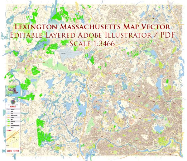
Lexington, Massachusetts, doesn’t have traditional city districts in the same way that larger cities might. Instead, it is a town with various neighborhoods and areas, each with its own character. Vectormap.Net provide you with the most accurate and up-to-date vector maps in Adobe Illustrator, PDF and other formats, designed for editing and printing. Please read the vector map descriptions carefully. Here are descriptions of some notable neighborhoods and areas within Lexington:
- Lexington Center:
- This is the town center and historic district where you’ll find Lexington’s iconic Battle Green, historic monuments, and landmarks.
- Lexington Center offers a mix of historic homes, small businesses, shops, and restaurants.
- Meriam Hill:
- Located to the northeast of Lexington Center, Meriam Hill is a residential area known for its charming homes and tree-lined streets.
- The neighborhood provides a mix of historic architecture and well-maintained properties.
- Follen Heights:
- Follen Heights is a residential neighborhood with a mix of architectural styles, including colonial and contemporary homes.
- It is known for its proximity to conservation areas and parks.
- Estabrook Woods:
- Situated on the western edge of Lexington, Estabrook Woods is an area with extensive woodlands, walking trails, and conservation land.
- It provides a more rural and nature-oriented setting compared to other parts of Lexington.
- Munroe Hill:
- Munroe Hill is located to the south of Lexington Center and is characterized by a mix of residential properties.
- This area offers a suburban atmosphere with proximity to schools and parks.
- Scotland Hill:
- Scotland Hill is a residential neighborhood with a mix of housing styles, including single-family homes.
- It is known for its peaceful and family-friendly atmosphere.
- Five Fields:
- Five Fields is a modernist neighborhood designed by architect Marcel Breuer in the 1950s.
- The area features unique and innovative home designs, reflecting mid-century modern architecture.
- Woodhaven:
- Woodhaven is a residential neighborhood known for its well-maintained homes and proximity to schools.
- It provides a suburban feel with easy access to amenities.
- Turning Mill:
- Turning Mill is a neighborhood in the southeastern part of Lexington, offering a mix of housing options.
- The area is known for its schools and parks.
- Irving Park:
- Irving Park is a residential neighborhood located to the southwest of Lexington Center.
- It is characterized by a mix of housing styles and a community-oriented atmosphere.
These descriptions provide a general overview, and the town may have experienced changes or developments since my last update. If you’re considering a move to Lexington or want more up-to-date and detailed information, it’s recommended to contact the local government, real estate professionals, or community organizations for the latest insights into Lexington’s neighborhoods.


 Author: Kirill Shrayber, Ph.D. FRGS