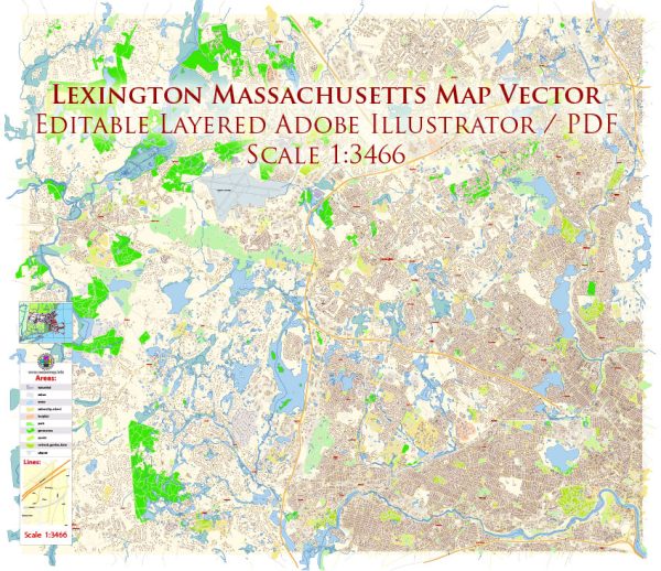
Lexington is a historic town located in Middlesex County, Massachusetts, United States. It holds a significant place in American history, as it was one of the key sites of the American Revolutionary War. Vectormap.Net provide you with the most accurate and up-to-date vector maps in Adobe Illustrator, PDF and other formats, designed for editing and printing. Please read the vector map descriptions carefully. Here’s a detailed description of Lexington:
- History:
- Lexington played a crucial role in the early days of the American Revolutionary War. On April 19, 1775, the first shots of the war were fired at Lexington during the Battle of Lexington and Concord.
- The town is known for the “Shot Heard ‘Round the World,” which marked the beginning of the American Revolution.
- Geography:
- Lexington is situated about 11 miles northwest of downtown Boston, making it part of the Greater Boston area.
- The town has a total area of approximately 16.5 square miles, with a mix of residential, commercial, and natural spaces.
- Demographics:
- Lexington have a diverse and well-educated population. It is known for its high standard of living and well-regarded public schools.
- The town is home to a mix of professionals, academics, and families.
- Education:
- Lexington is renowned for its excellent public school system. The Lexington Public Schools consistently rank among the top in the state.
- It is also home to several private schools and educational institutions.
- Economy:
- The town has a vibrant economy, with a mix of small businesses, professional services, and technology companies.
- Its proximity to the biotechnology and pharmaceutical industries in the Greater Boston area contributes to its economic strength.
- Cultural Attractions:
- Lexington has preserved its historical sites, including the Lexington Battle Green, where the first battle of the American Revolution took place.
- The town has numerous historic houses and landmarks, providing visitors with a glimpse into colonial American history.
- Recreation and Green Spaces:
- Lexington offers various parks, recreational facilities, and natural reserves for residents and visitors to enjoy.
- The Minuteman Bikeway, a popular multi-use path, runs through the town, providing opportunities for outdoor activities.
- Community Events:
- The town hosts various events and festivals throughout the year, celebrating its history and fostering a sense of community.
- Transportation:
- Lexington is well-connected by road, with several major highways nearby, including Route 2 and Interstate 95.
- Public transportation options include bus services, and the Alewife subway station in nearby Cambridge provides access to the MBTA Red Line.
- Housing:
- Lexington has a mix of housing options, including historic homes, modern developments, and upscale properties.
- The real estate market in Lexington is often competitive due to its desirable location and excellent school system.
In summary, Lexington, Massachusetts, is a charming town with a rich history, a strong education system, and a thriving community. Its historical significance and modern amenities make it an attractive place to live and visit.


 Author: Kirill Shrayber, Ph.D. FRGS