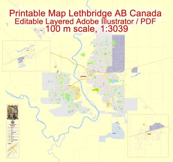
A general overview of some neighborhoods and districts in Lethbridge, Coaldale, and Fort Macleod. Vectormap.Net provide you with the most accurate and up-to-date vector maps in Adobe Illustrator, PDF and other formats, designed for editing and printing. Please read the vector map descriptions carefully.
Lethbridge:
- Downtown Lethbridge:
- This area is the central business district and features a mix of commercial, retail, and office spaces. It includes popular spots like Galt Gardens and the Southern Alberta Art Gallery.
- West Lethbridge:
- This district has experienced significant growth and includes various residential neighborhoods, shopping centers like West Lethbridge Towne Centre, and the University of Lethbridge.
- North Lethbridge:
- North Lethbridge encompasses diverse residential areas and is home to parks, schools, and recreational facilities. It’s a family-friendly part of the city.
- South Lethbridge:
- This area includes residential neighborhoods, schools, and recreational spaces. It’s known for its proximity to the Oldman River and the picturesque landscape.
Coaldale:
- Central Coaldale:
- The central part of Coaldale likely consists of a mix of residential and commercial areas, including local businesses and community services.
- Residential Areas:
- Coaldale is primarily a residential community, and different neighborhoods within the town offer a range of housing options. The town tends to have a more rural feel compared to larger urban centers.
Fort Macleod:
- Historic Downtown Fort Macleod:
- This area preserves the town’s history and features historic buildings, including those associated with the North-West Mounted Police. The Fort Museum is a notable attraction in this district.
- Residential Neighborhoods:
- Fort Macleod has various residential areas that offer a mix of housing options. These neighborhoods contribute to the overall charm and character of the town.


 Author: Kirill Shrayber, Ph.D. FRGS