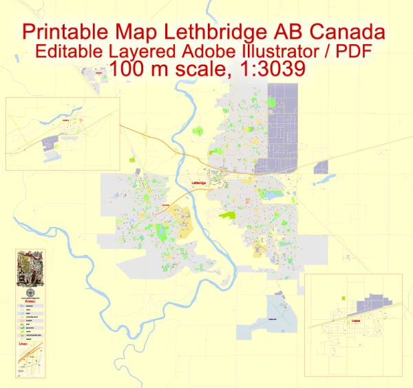
A general information about Lethbridge, Coaldale, and Fort Macleod in Canada. Vectormap.Net provide you with the most accurate and up-to-date vector maps in Adobe Illustrator, PDF and other formats, designed for editing and printing. Please read the vector map descriptions carefully.
- Lethbridge:
- Location: Lethbridge is a city in the province of Alberta, Canada. It is situated in the southern part of the province along the Oldman River.
- Population: Lethbridge is one of the largest cities in Alberta, with a diverse population.
- Economy: The city’s economy is driven by agriculture, education, health services, and technology. The University of Lethbridge, along with other educational institutions, plays a significant role in the local economy.
- Attractions: Lethbridge is known for its scenic coulees (ravines) and parks. The Nikka Yuko Japanese Garden, the Galt Museum & Archives, and the Southern Alberta Art Gallery are popular cultural attractions. The city also hosts events like the Whoop-Up Days festival.
- Coaldale:
- Location: Coaldale is a town located near Lethbridge in southern Alberta.
- Population: It is a smaller community compared to Lethbridge, with a focus on a more rural lifestyle.
- Economy: Like many towns in Alberta, Coaldale has a connection to agriculture. The surrounding region is known for its farmland and agricultural activities.
- Community: Coaldale provides a more relaxed and close-knit community atmosphere. Residents often enjoy the quieter pace of life while still having access to the amenities and services provided by nearby larger centers like Lethbridge.
- Fort Macleod:
- Location: Fort Macleod is another town in southern Alberta, located along the Oldman River. It has a rich history dating back to the late 19th century.
- History: Fort Macleod has historical significance as one of the first permanent outposts of the North-West Mounted Police (NWMP), the forerunner of the Royal Northwest Mounted Police (RNWMP) and later the Royal Canadian Mounted Police (RCMP).
- Attractions: The Fort Museum preserves the town’s history and showcases artifacts related to the NWMP. The town itself has maintained some of its historic architecture, giving visitors a sense of the past.
- Community Events: Fort Macleod hosts events that celebrate its history, and it’s also known for the Empress Theatre, a historic venue that continues to host performances and events.
Please note that developments may have occurred since my last update, and I recommend checking more recent sources for the latest information on these locations.


 Author: Kirill Shrayber, Ph.D. FRGS